

Jeju Olle Trail 5: Namwon Keuneong Coastal Walk for Autumn 2026
Discover the hidden beauty of Jeju's east coast on Olle Trail Course 5. Explore Namwon Keuneong's stunning cliffs, blue waters, and iconic Korea Peninsula photo zone this autumn 2026.

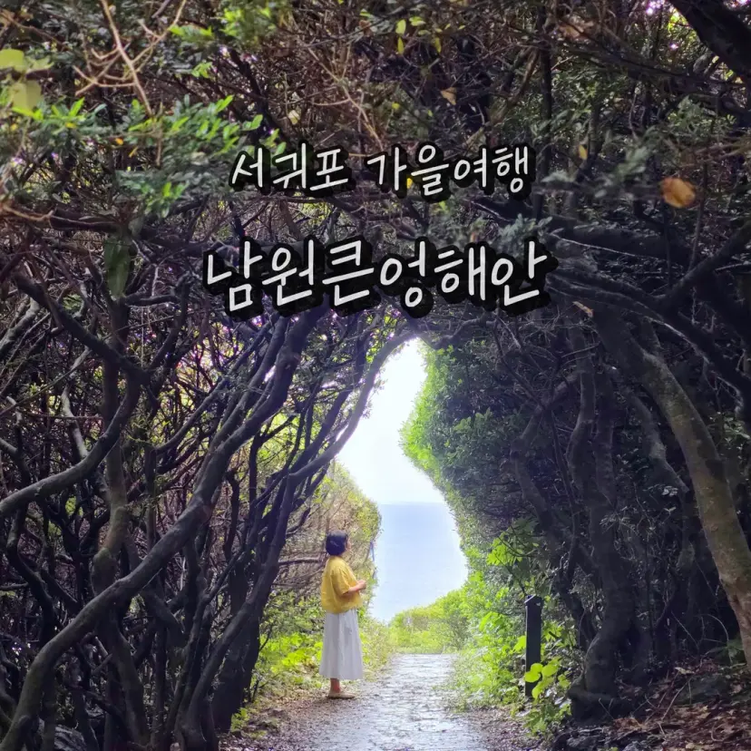
Hello, everyone!
I'm Nabongsun, your travel influencer.
#NamwonKeuneongCoastalScenicPoint
#AutumnTravel
#JejuAutumnTravel
#EastJeju
#PlacesToGoInEastJeju
#JejuOlleTrailCourse5
#JejuOlleTrail
#JejuOlleTrailCourse
01. Jeju Autumn Travel: Namwon Keuneong Coastal Scenic Point
Ever since a cool autumn breeze started blowing last night,
even as a local resident, I've been itching to embark on a Jeju autumn adventure.
The destination I'm excited to share with you today is
the Namwon Keuneong Coastal Scenic Point.
My friend and I, meeting up after a long time, decided to stroll along the promenade
that follows Jeju Olle Trail Course 5, where blue waves meet spectacular rock formations.
We captured some amazing photos at various photo zones, truly enjoying our autumn getaway.

This spot in East Jeju is not just home to the viral Korean Peninsula Map photo zone that's all over social media,
but also offers countless breathtaking hidden views at every turn, perfect for snapping those 'once-in-a-lifetime' shots.
Despite its stunning beauty, it's not overly crowded with tourists,
making it a fantastic and easy-to-capture spot along the Jeju Olle Trail.
The Namwon Keuneong Coastal Scenic Point, with its beautiful Olle Trail, is perfect for a stroll with a friend this season.
I'll take you through everything from its location to its main attractions, sharing all the vibrant details.
02. Location of Namwon Keuneong Coastal Scenic Point
Located in Namwon, Seogwipo, this travel gem is considered the highlight of Jeju Olle Trail Course 5,
stretching from Namwon Port to Soesokkak. It's a coastal scenic route where you can fill your eyes with magnificent views as you walk.
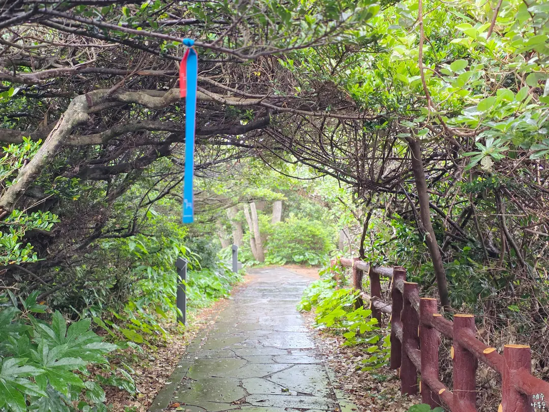
Keuneong Coastal Scenic Point
Address
522-17 Taewi-ro, Namwon-eup, Seogwipo-si, Jeju (Keuneong Observatory)
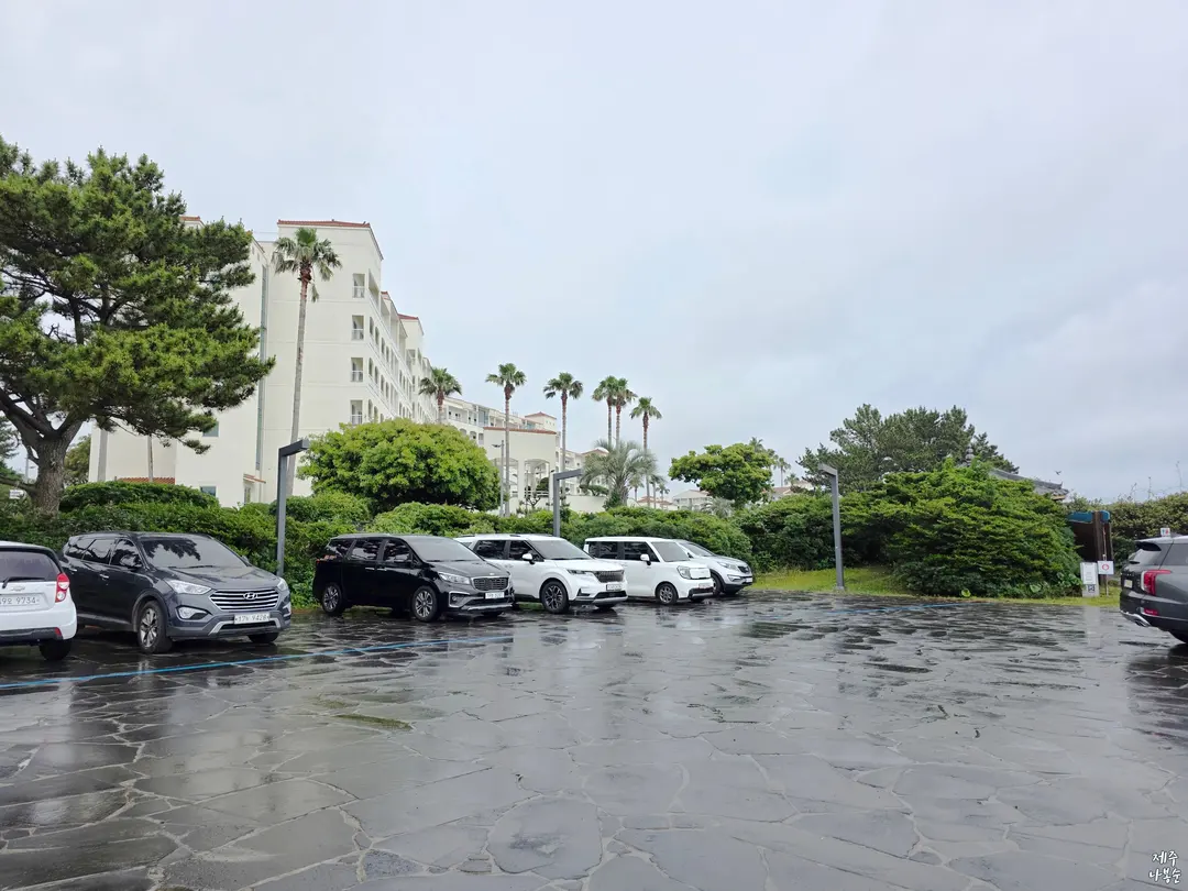
If you're visiting by car, there's a free public parking lot near the entrance to Keuneong.
After parking, just head towards Kumho Resort.
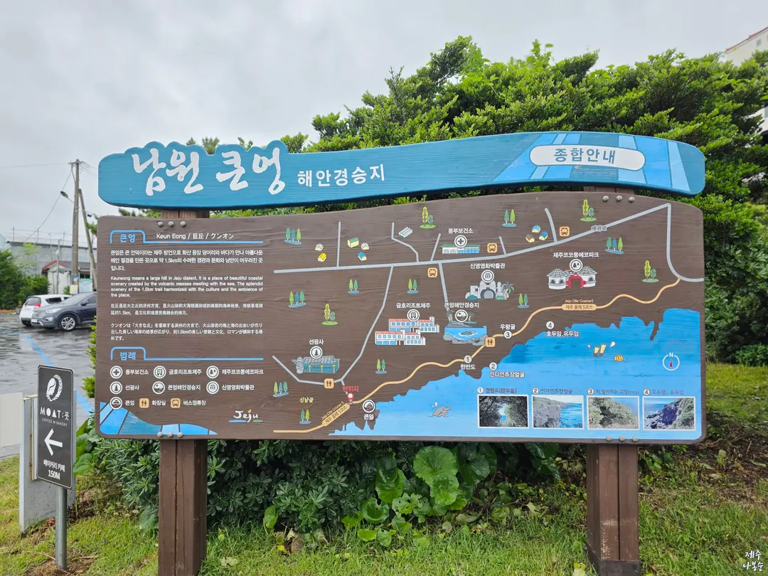
Signposts are plentiful, so you'll easily find your way to the Korean Peninsula photo zone.
Nearby, you can continue your Jeju autumn adventure at Soesokkak, famous for its mystical waters,
or at Hueree Natural Life Park, where you can admire beautiful flowers all year round and, from late September, be enchanted by a pink wave of Muhly grass.
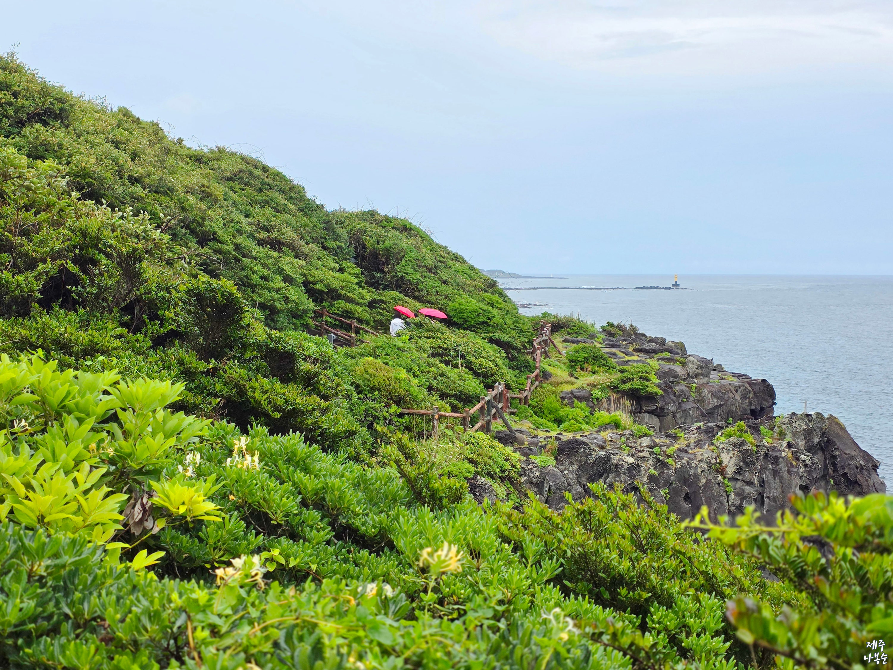
And if you're planning a winter visit, there's also a stunning camellia community, a renowned spot for camellias,
making it a great addition to your itinerary.
03. Photo Spots on Jeju Olle Trail Course 5
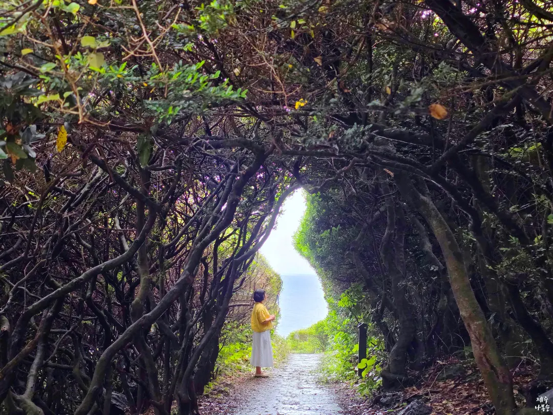
As a prominent place to visit in East Jeju, you can certainly check out the Korean Peninsula photo zone.
But here's a little secret: there are hidden photo zones waiting to be discovered all along Jeju Olle Trail Course 5!
I'll guide you through all the must-see sights along this route.
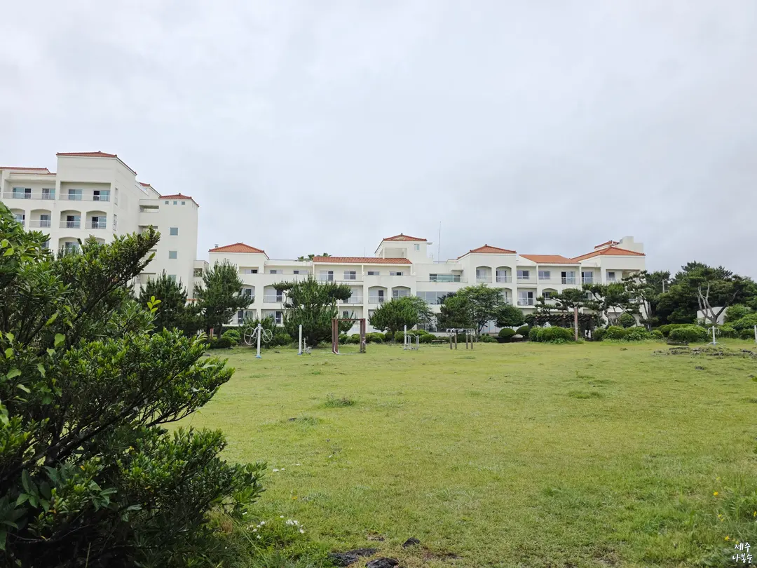
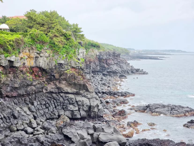
Just before you reach Kumho Resort, near the entrance, you'll encounter the Keuneong geological formations set against the stunning coastline.
In 'Keuneong,' the 'eong' refers to a cave opening towards the sea or a cliff on a hill in the local dialect.
Thanks to the relentless waves and wind, these coastal cliffs have been carved over a long time,
revealing a beautiful natural heritage that looks like it was sculpted by nature itself.
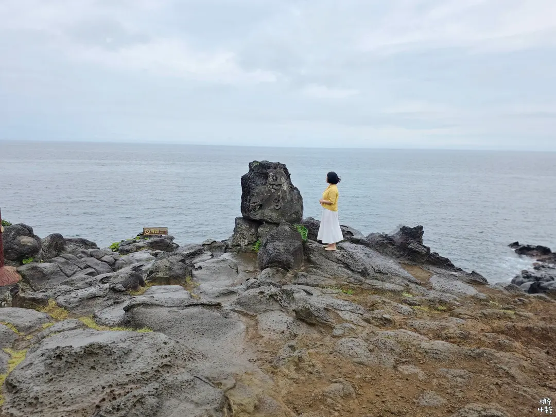
Right from the start of the walking trail, near the 'Keuneong' Rock,
you'll encounter the true essence of magnificent marine topography.
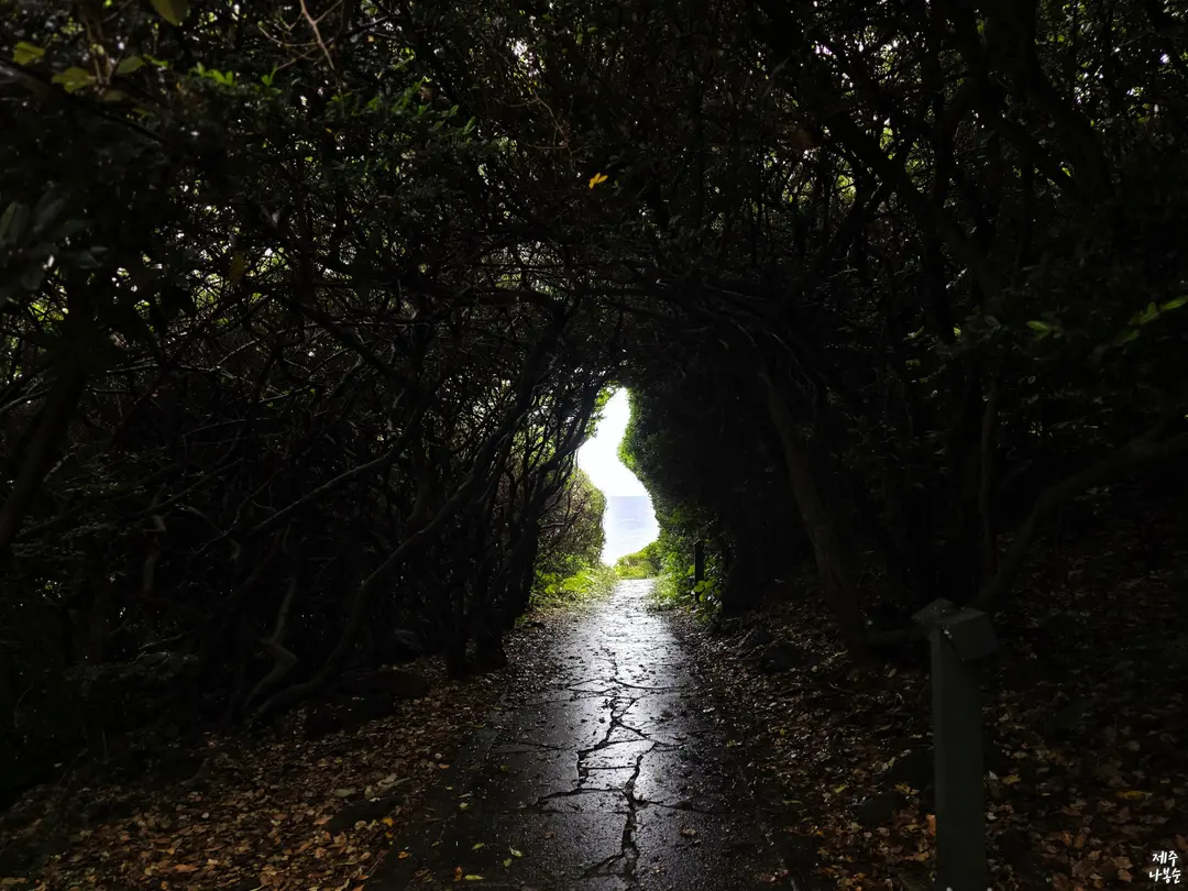
As you walk past Kumho Resort,
you'll come across the Korean Peninsula Map Photo Zone.
It's a spot where several trees are layered,
making it look like the shape of the Korean Peninsula.
So, as you walk, you'll need to turn back several times
to find the perfect spot where the Korean Peninsula shape
is clearly visible.
On my first visit, I was quite lost wondering where it was,
but after a few visits, I can find it easily now. Just to reiterate,
the key is to turn around from the direction you're walking, find that exquisite spot where the bushes and the sea perfectly form the shape of the Korean Peninsula, and capture it with your camera.
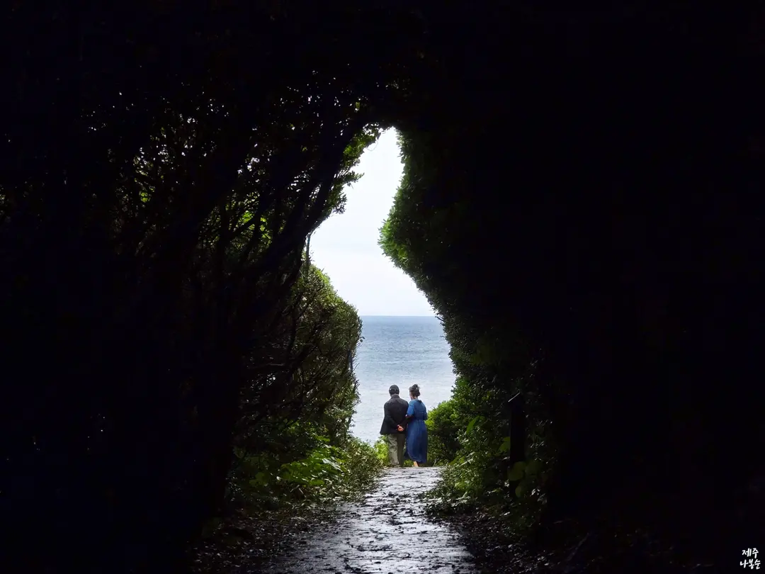
They do tidy up the bushes to maintain the frame periodically,
but please note that if you visit during the off-season,
the Korean Peninsula frame might not always appear as clean and defined.
So keep that in mind!
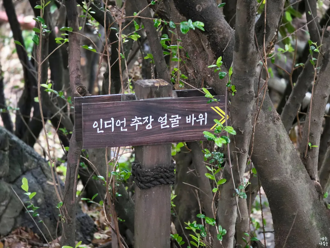
Just a short walk further from the Korean Peninsula Map Photo Zone,
you'll discover the 'Indian Chief's Face Rock'.
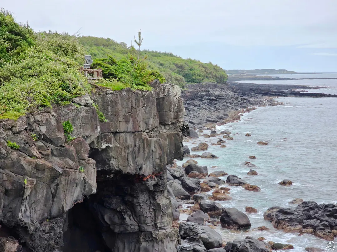
This is a strangely shaped rock by the sea,
and its profile, when you see it in person rather than just in photos,
looks even more like a chief's face, which I found absolutely amazing.
It's even more wondrous because this silhouette was created naturally
by waves and weathering, without any artificial touch.
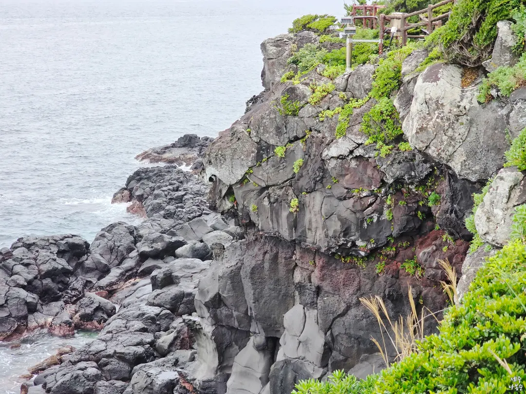
Walk a little further from here and you'll find Ureonggul Cave,
and a bit further from there,
you can discover Hodooam Rock, which is shaped like a tiger's face.
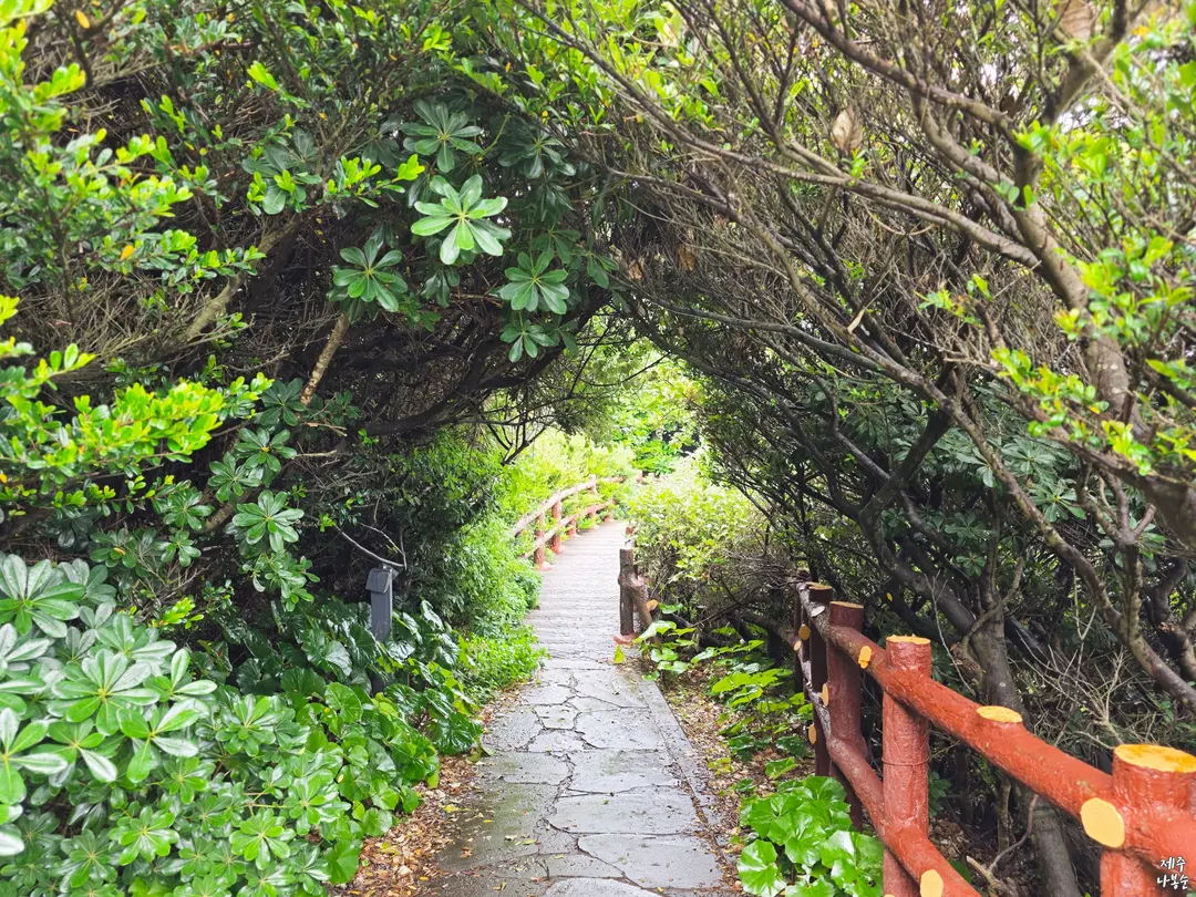
I only explored up to this point and then headed back,
but even with leisurely photo-taking, it's a pleasant 30-40 minute stroll.
It's a serene outing course, perfect for taking your time and capturing beautiful memories.
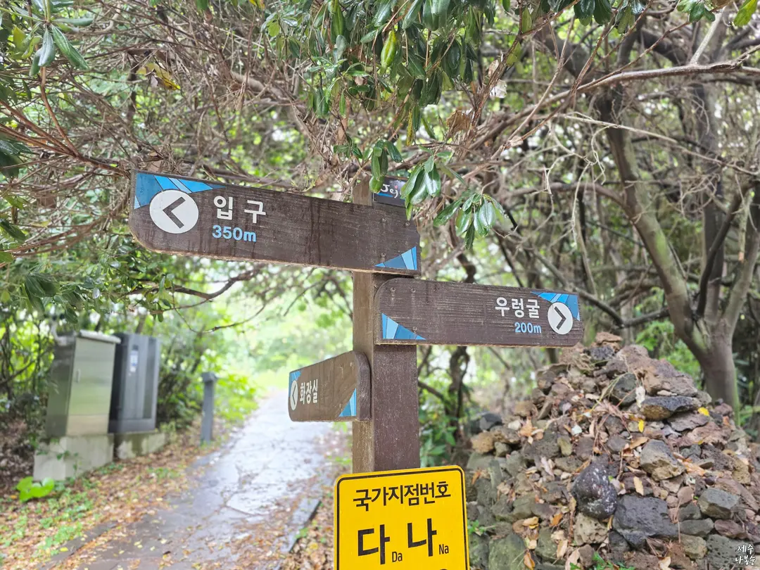
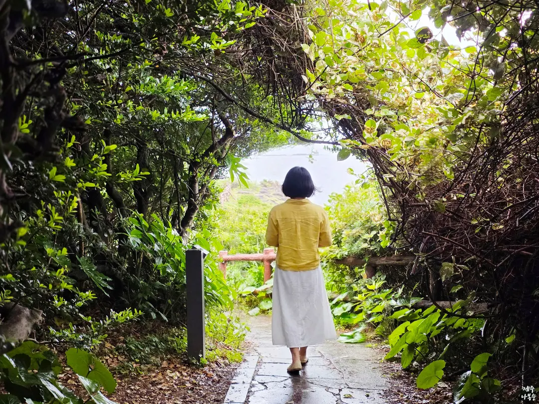
The path isn't rugged; it's well-maintained,
making it a part of the Jeju Olle Trail that's wonderful for people of all ages and genders to walk.
I visited after it rained,
and the damp ground created beautiful reflections of light,
allowing me to fully soak in an even more mystical forest atmosphere.
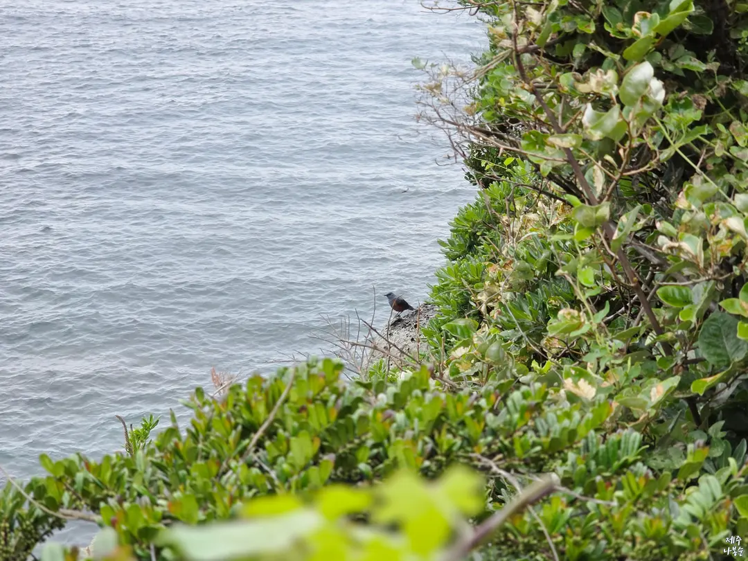
And the birdsong in the quiet walking trail? It was so beautifully melodious,
it was truly another healing experience.
04. Concluding Our Journey to Must-Visit Spots in Eastern Jeju
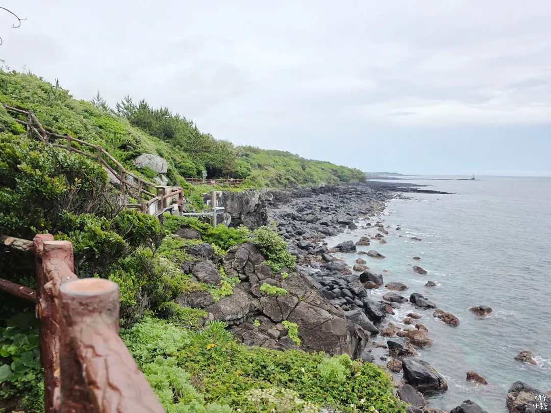
With its azure seas, unique rock formations and cliffs, and enchanting forest tunnels,
leading all the way to the Korean Peninsula Map – it's a place where every step evokes admiration.
This serene autumn travel destination in Jeju,
Namwon Coastal Scenic Area, its location and must-visit photo zones,
I've introduced them to you along a suggested route.
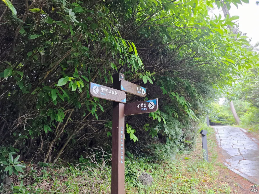
The walking trail is exceptionally well-maintained,
and the round trip only takes about 40 minutes, so it's a hassle-free experience.
It's a fantastic free tourist spot in Eastern Jeju where people of all ages can comfortably walk
and truly immerse themselves in the grandeur of nature.
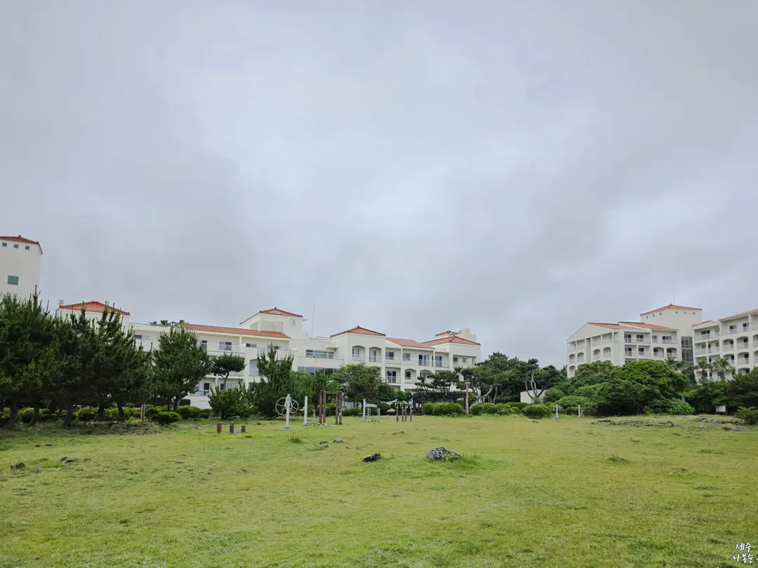
While it might not be a destination grand enough to intentionally seek out from far away,
if you're planning a travel itinerary around Seogwipo Namwon or the southeastern part of Jeju,
be sure to stop by and take in the picturesque ocean scenery of Jeju Olle Trail Course 5,
and capture some 'life-shot' photos within the natural frame of the tree branches.
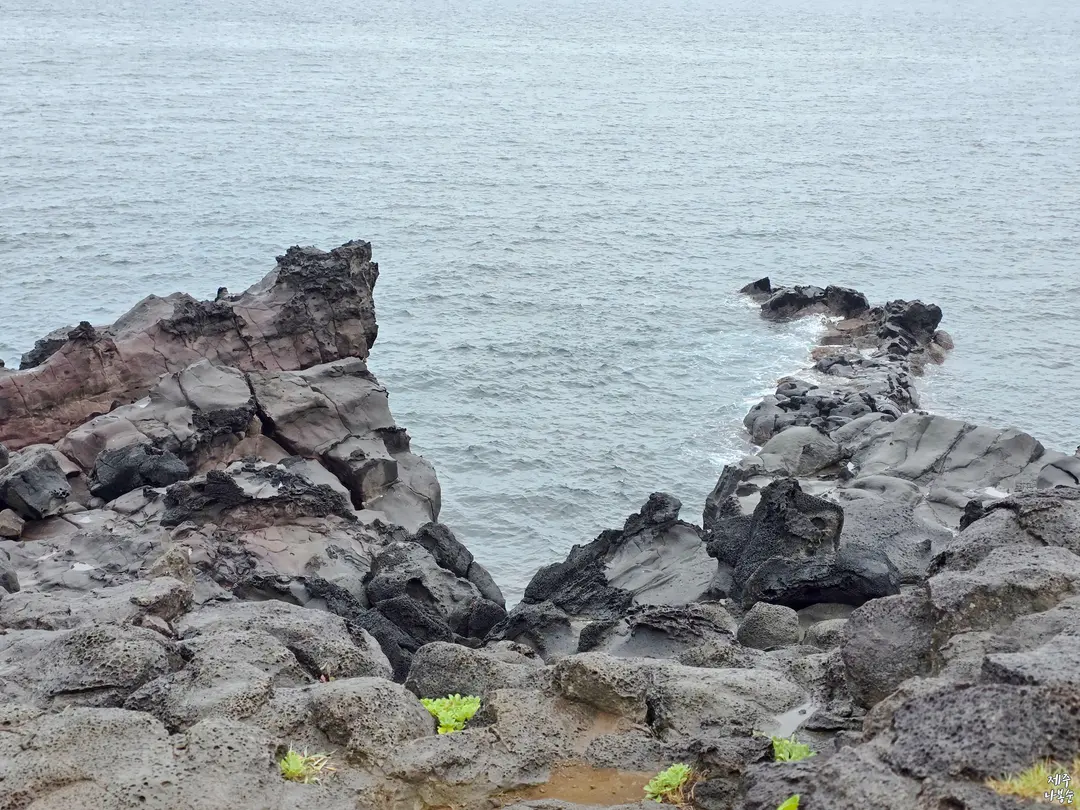
Combine it with other major nearby attractions
Embrace an autumn outing to make your journey even more abundant and enriching.
You'll create a truly unforgettable fall travel itinerary.
Wishing you a fulfilling trip!
Frequently Asked Questions
How can I find the 'Korean Peninsula Map Photo Zone' at Namwon Keun-eong Coastal Scenic Area?
Walk straight past Kumho Resort, and you will find the Korean Peninsula Map Photo Zone. The key is to look back in the direction you came from to find the spot where the grass and the sea perfectly resemble the topography of the Korean Peninsula, then take your photo there.
What does 'Keun-eong' at Namwon Keun-eong Coastal Scenic Area mean, and what are its characteristics?
In 'Keun-eong', 'eong' is a local dialect word referring to a cave opening towards the sea or a cliff on a hill. Thanks to the rough waves and wind, the coastal cliffs have been carved out over a long period, allowing visitors to encounter beautiful natural heritage that looks as if sculpted by nature.
What is the estimated time required for a walk along Olle Trail Course 5 at Namwon Keun-eong Coastal Scenic Area?
If you take your time, taking photos and exploring, it will take about 30-40 minutes. The walking path is well maintained, making it a leisurely course that can be enjoyed round trip in about 40 minutes without much burden.
Where should I park when visiting Namwon Keun-eong Coastal Scenic Area, and what other attractions are there besides the Korean Peninsula Map Photo Zone?
There is a free public parking lot near the entrance of Keun-eong, so you can park there and then head towards Kumho Resort. Besides the Korean Peninsula Map Photo Zone, you can discover various other natural heritage sites such as the Indian Chief's Face Rock, Ureonggul Cave, and Hodam Rock, which resembles a tiger's face.
Share this article
Featured in Collections
Discover more travel stories curated around the same theme.
Related Travel Stories
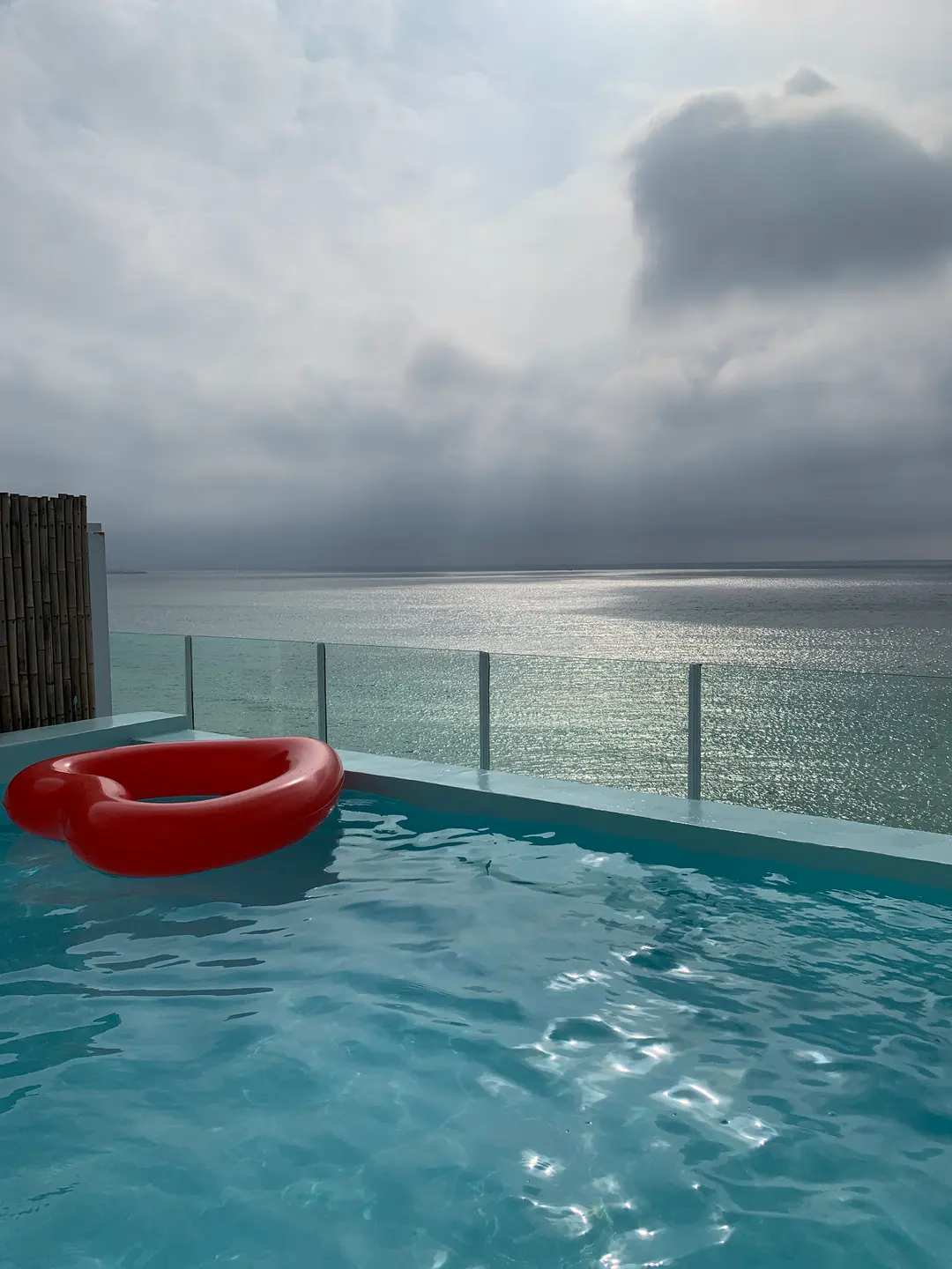
Aewol The Sunset Resort Jeju Review 2026: Private Pool & Spa
Looking for the ultimate private pool villa in Jeju? Read our review of Aewol The Sunset Resort, featuring a private rooftop pool and floating breakfast.
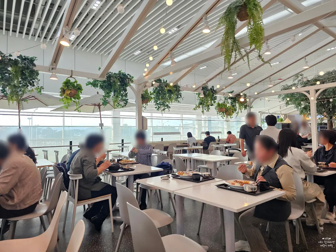
Cheongju Airport Dining Guide 2026: Best Restaurants Before Your Flight
Flying from Cheongju International Airport? Don't stress about pre-flight meals! Our 2026 guide covers everything from quick snacks to hearty dinners, ensuring you start your Jeju adventure well-fed.
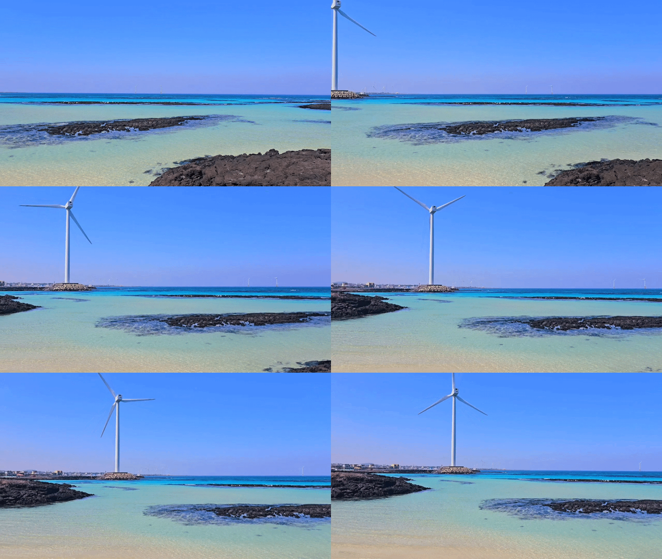
Conan Beach Jeju: A Hidden Gem for Snorkeling in 2026
Find your perfect escape at Jeju's Conan Beach, a serene spot in Gujwa-eup famous for its crystal-clear emerald waters and fantastic snorkeling opportunities. Don't miss the stunning sunsets!

Sunpoong Haejangguk Hamdeok: Jeju's Unique Gosari Yuknae-tang
Craving authentic Jeju flavors? Sunpoong Haejangguk in Hamdeok is a hidden gem, famous for its unique Gosari Yuknae-tang. A must-visit for local foodies!
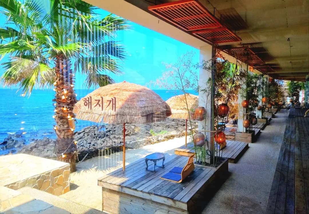
Haejigae Cafe Jeju Review 2026: Best Hanok Ocean Views
Discover Haejigae Cafe in Aewol, Jeju Island. This stunning oceanfront Hanok cafe serves local Hallabong pastries alongside breathtaking sunset views.

Changkkom Rock Jeju Guide: Best Coastal Photo Spot
Explore Changkkom Rock in Jocheon, Jeju Island. Learn about this unique 'window rock', its K-drama connection, and how to capture the perfect coastal photo.