

Hiking Hwaseong Gandal Mountain with Kids (2026): Trails & Descent Tips
Embark on a family-friendly adventure up Hwaseong's Gandal Mountain. This guide covers scenic trails, parking, and essential advice, especially for a safe descent.
Quick answer
- Gandal Mountain (건달산) is ideal for families, with children aged 8 and 10 successfully completing the hike.
- Two main trails: A (Gicheon 2-ri Village Hall) and B (Hindolsan Prayer House).
- There are no restrooms available near the trailhead, so plan accordingly.
- The summit (1,076 feet) offers panoramic views of the sea, Gicheon Reservoir, and surrounding ridges.
- Pay close attention to trail markers, especially at the iron stairs, to avoid getting lost during descent.
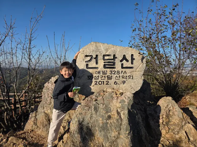
I visited Gondaesan (건달산) in Hwaseong (화성) for the first time in five years.
This time, with my kids!
Last time I hiked Mubongsan (무봉산), I was a little disappointed with the summit view.
So this time, to show my kids the true joy of hiking,
I took them to Gondaesan, which boasts amazing views.
I'll tell you about Gondaesan's hiking trails and parking,
and even some precautions for descending!
Gondaesan Hiking Trails and Parking

Gondaesan's **hiking courses** include:
the **gentle Course A**, which starts at Gicheon 2-ri Village Hall (기천2리 마을회관),
and the **shortest Course B**, which starts at Heindolsan Prayer Mountain (흰돌산 기도원) and descends to Segok-ri (세곡리).
I took Course B five years ago,
but because descending to Segok-ri meant a walk back to the car at Heindolsan Prayer Mountain,
I planned to go up to the summit and come back down the same way this time.
However, on the way down, I somehow took a wrong turn.
It turned into quite an ordeal!
ㅠㅠ
After searching online, I found that many people, like us, take a wrong turn.
So, I'll explain **where you need to be careful**
below.
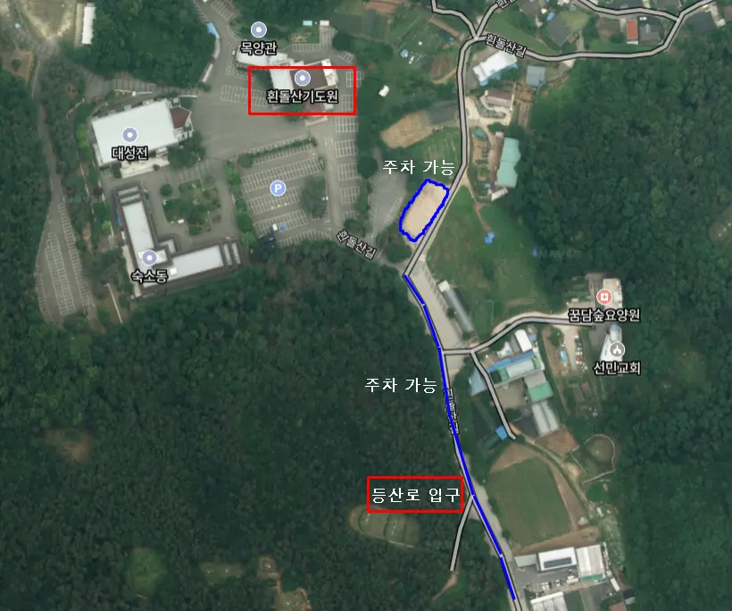
Most hikers park in front of Heindolsan Prayer Mountain,
the starting point for Course B.
The areas marked in blue on the map above
are all available for parking.
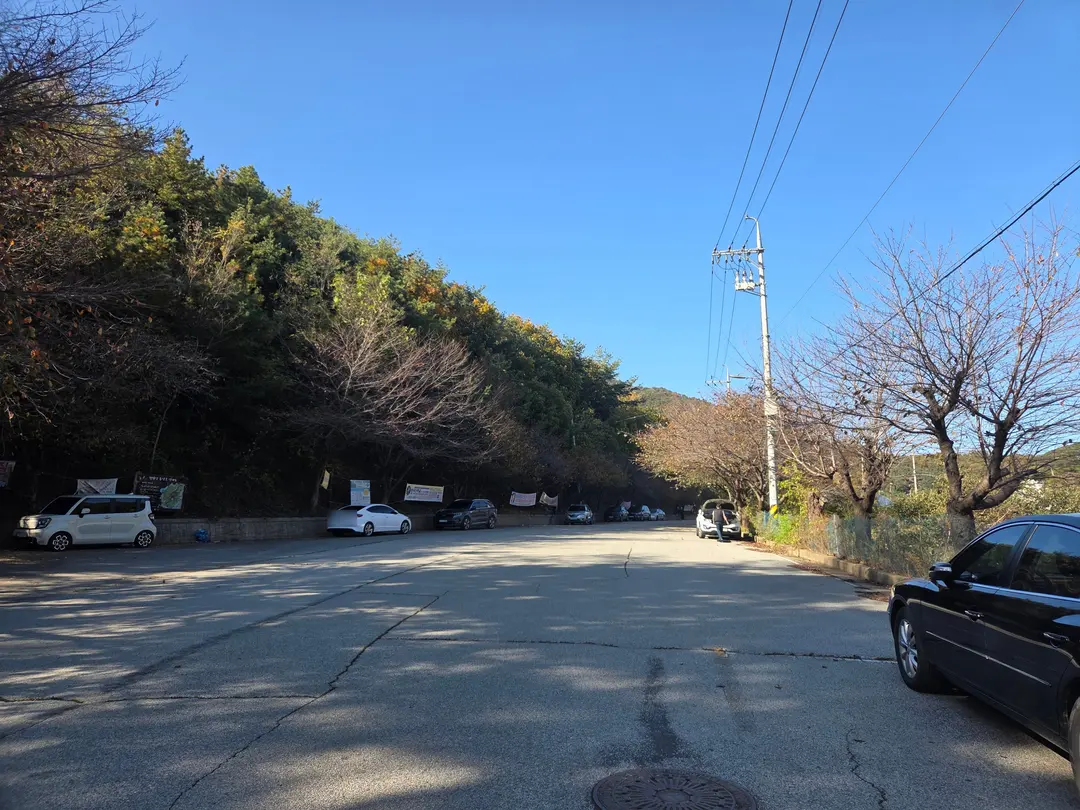
The road in front of the trail entrance is wide,
so it's fine to park on both sides.
This is what it looked like a little after 2 PM on a Saturday.
Heindolsan Prayer Mountain ▶ Gondaesan Summit
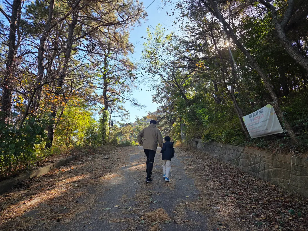
We followed the asphalt path
next to the hiking trail map.
Oh!
**There are no restrooms near the Gondaesan trailhead.**
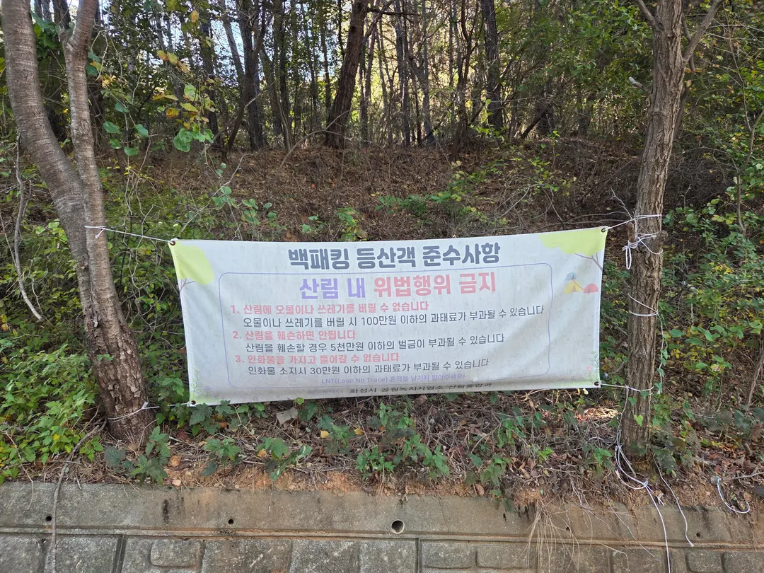
Gondaesan became famous as a backpacking hotspot during COVID,
and it seems it still is.
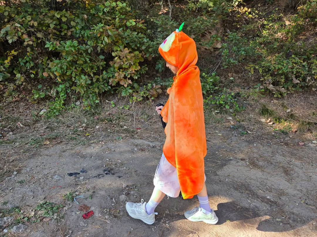
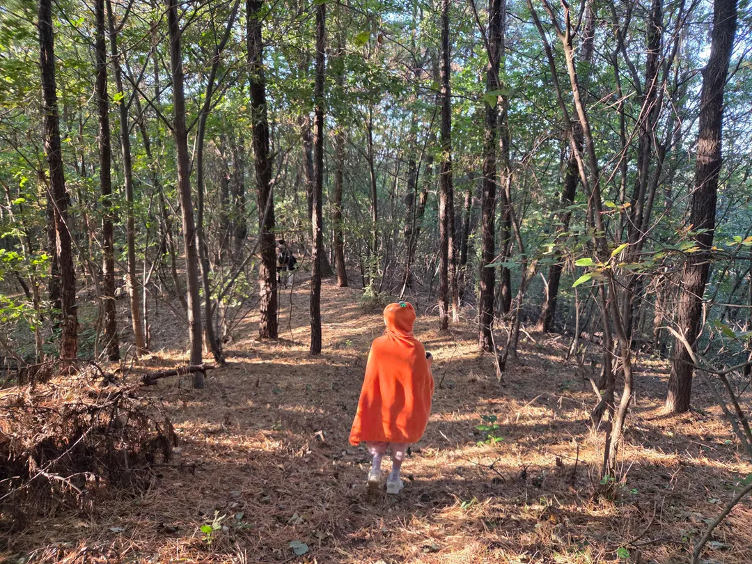
This isn't because of Halloween;
my daughter wore light clothes and was cold, so
we covered her with a blanket from the car.
**Wear several thin layers of clothing.**
You can always take layers off if you get warm,
but if you get cold on the mountain, there's no easy fix.
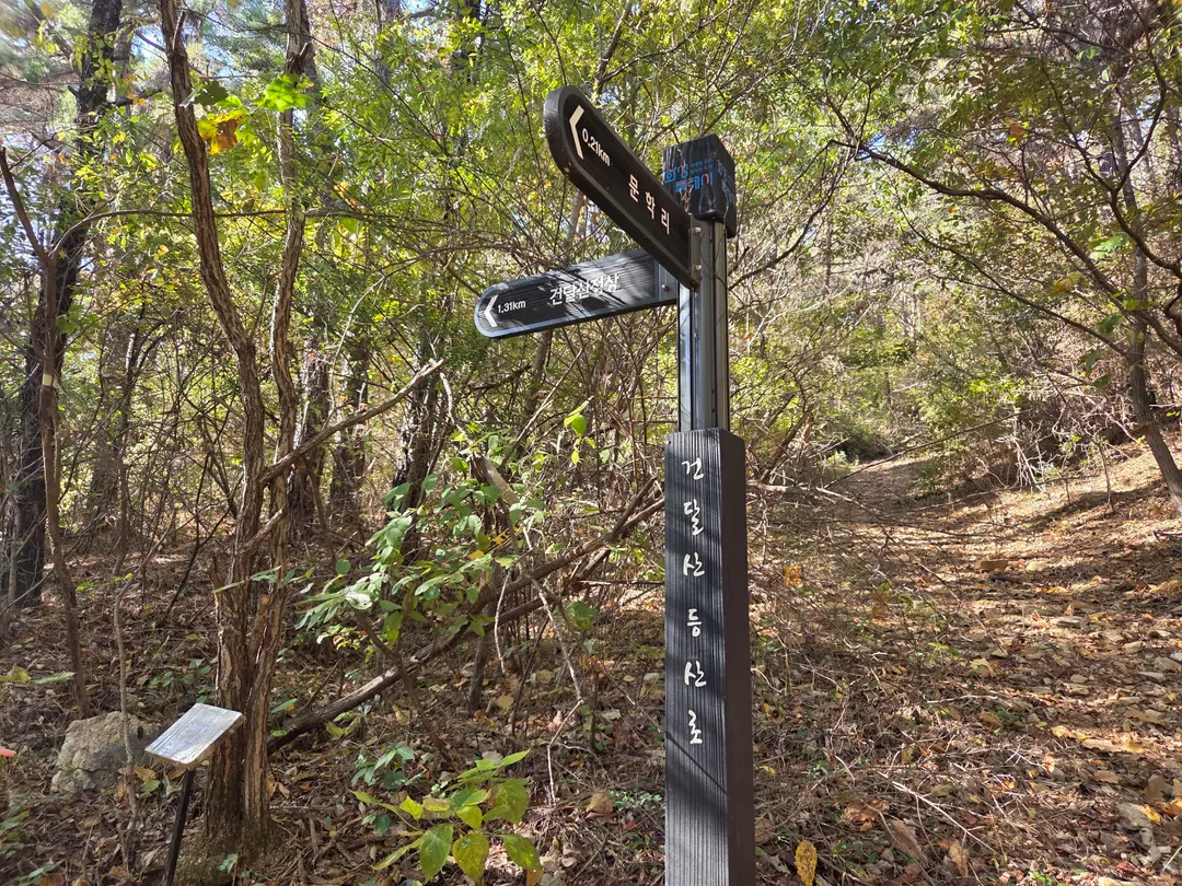
After walking a bit, you'll see a path to the right
leading to the Bannamparkssi Ancestral Cemetery (반남박씨 묘원).
Just pass it and keep going straight,
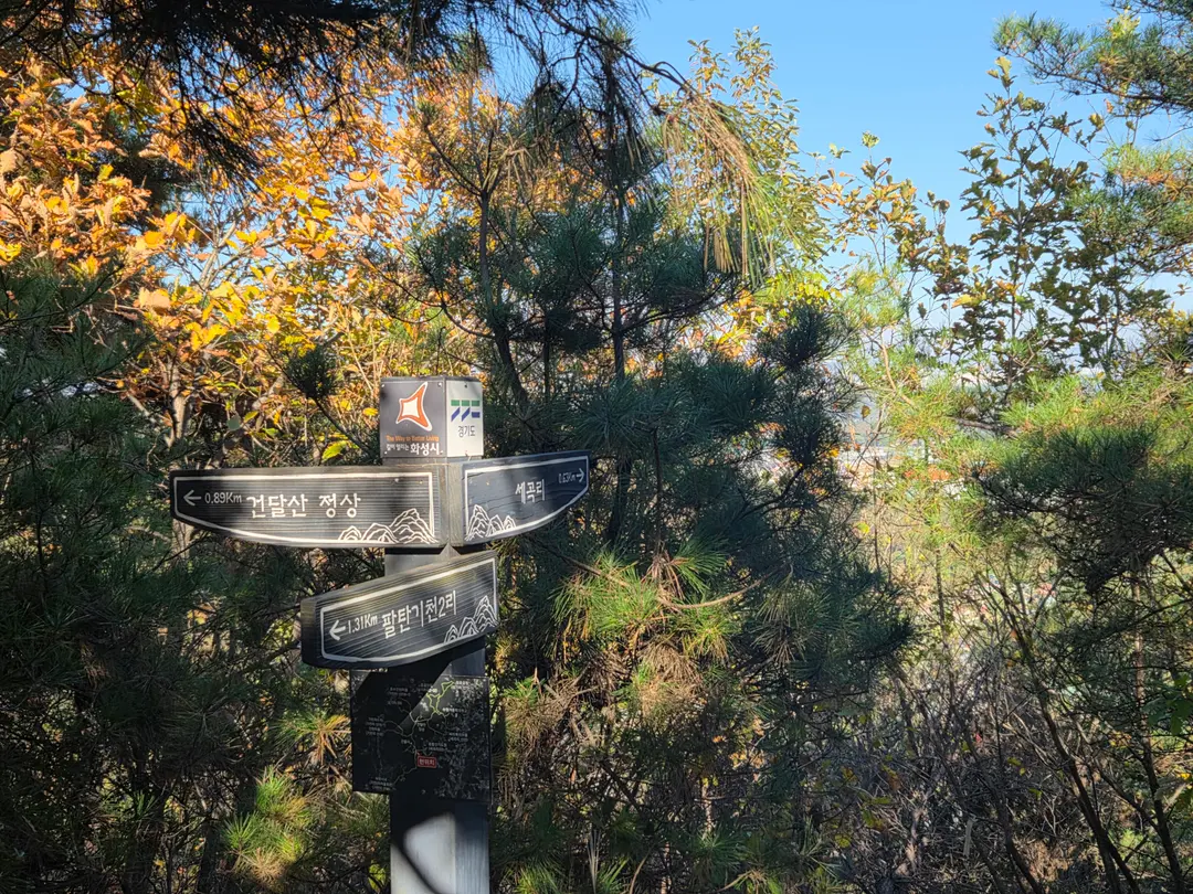
and you'll reach a fork in the road, as shown in the picture above.
From here, head towards Gondaesan Summit (건달산정상)!
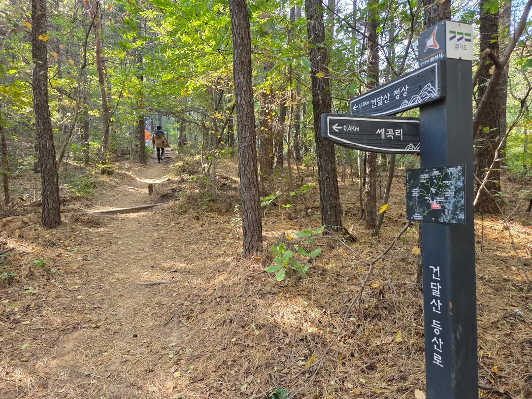
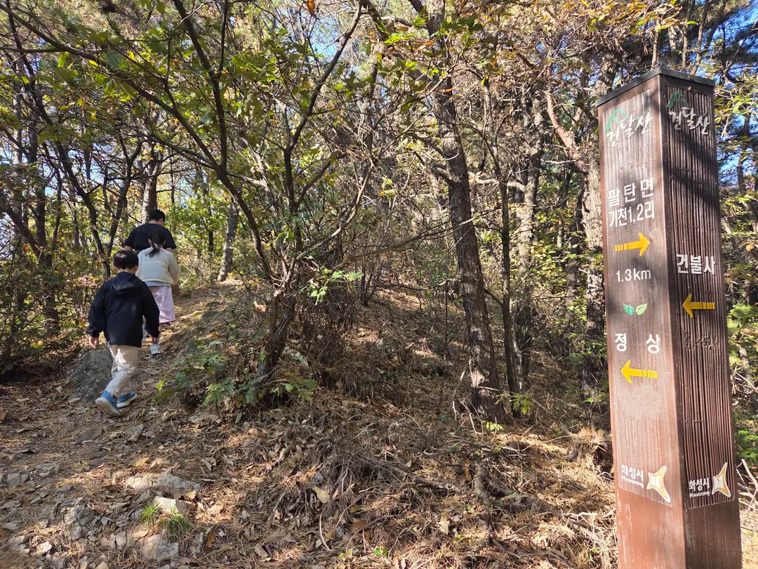
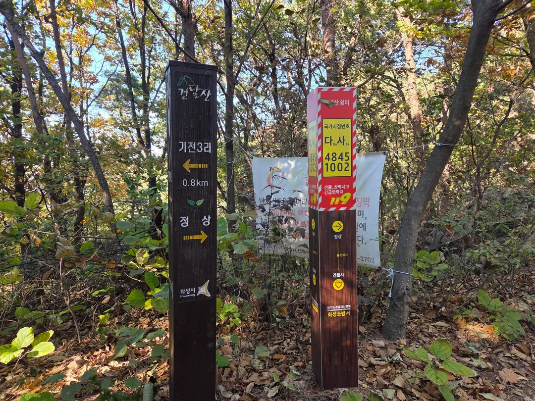
There are signs along the way pointing towards the summit,
so **you won't get lost on the way up.**
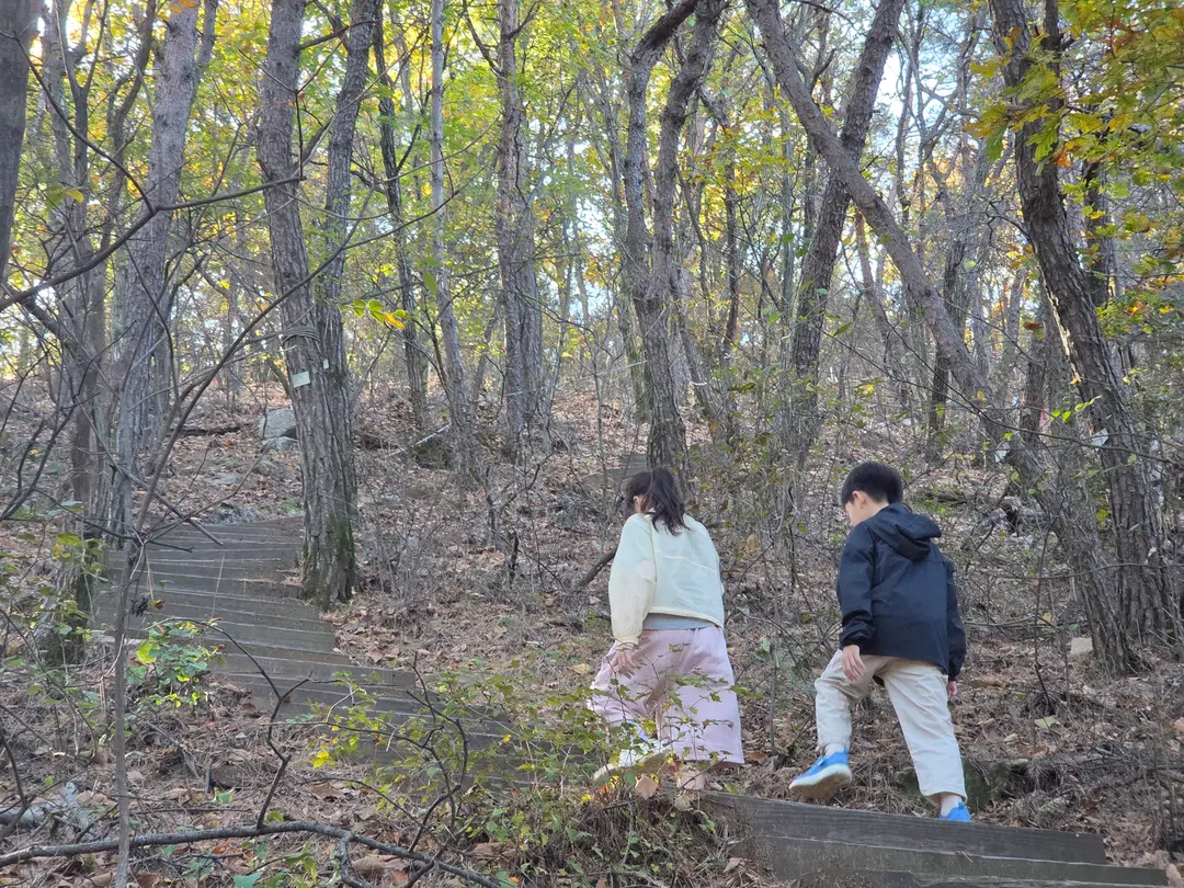
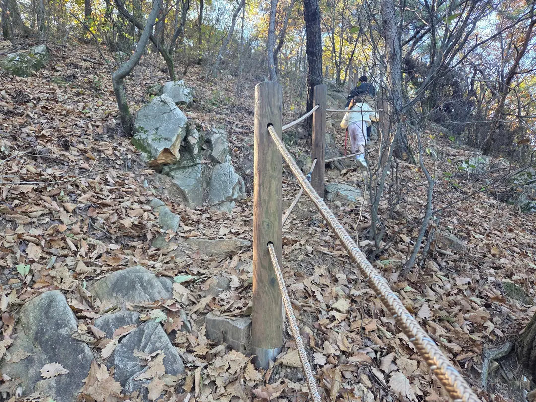
Course B has many stairs and steep slopes,
but both the 8-year-old and 10-year-old children
climbed it with ease.
My husband and I also found it less strenuous to reach the summit
than when we climbed Mubongsan.
The view from here was amazing five years ago,
but since then, the trees have grown so much
that they've completely blocked the view.
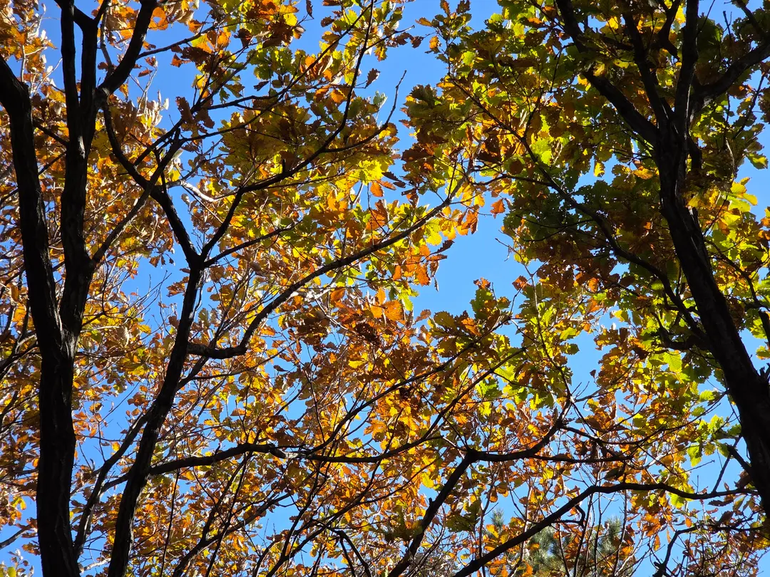
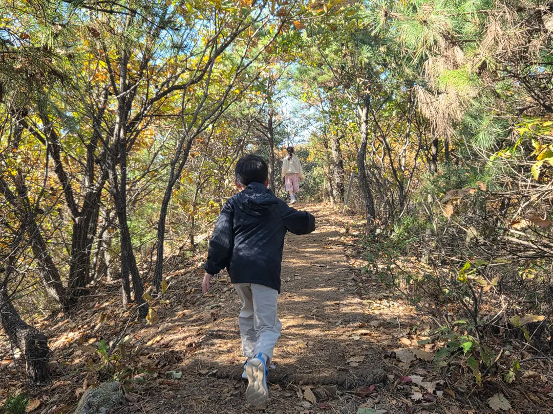
The mountain was so beautiful in autumn.
Hwaseong Geondalsan (화성건달산) has so many rocks
that there's even a quarry.
Kids could trip if they run around,
so you need to make sure they're careful.
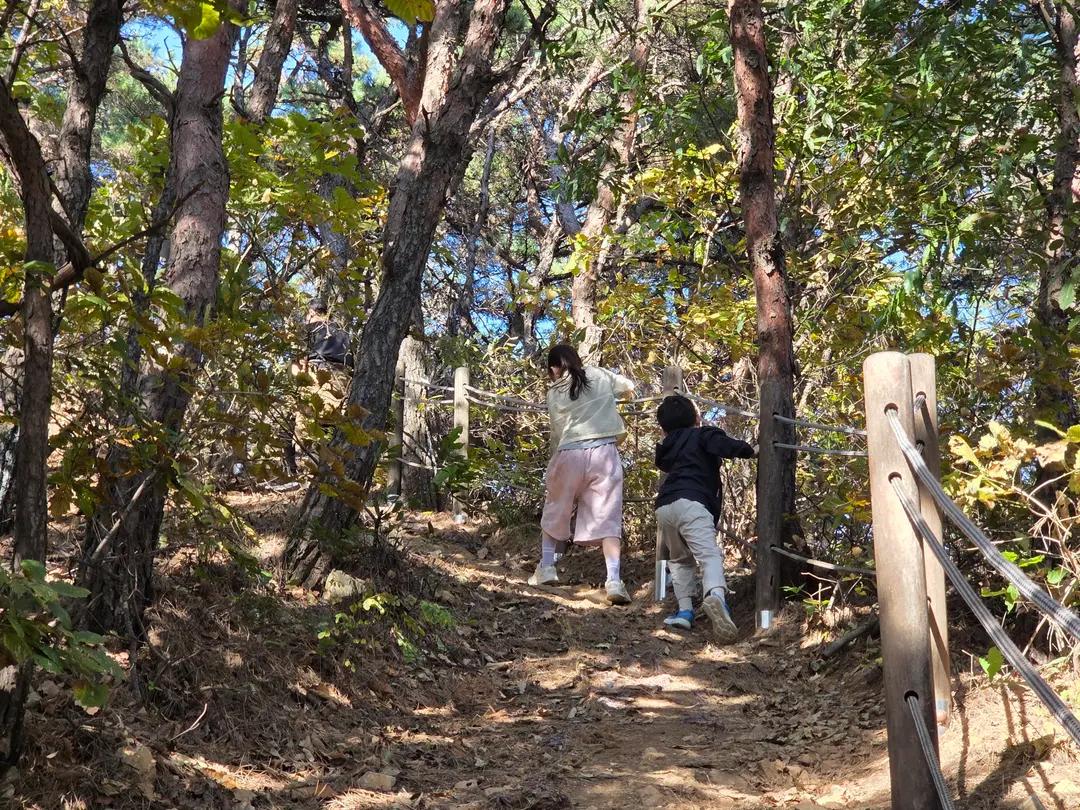
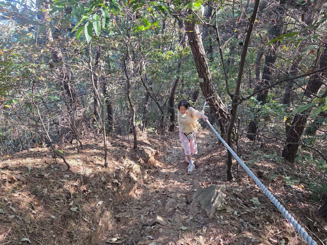
Ropes are installed on most of the slopes,
so it was relatively easy to climb by holding onto them.
Your hands might get scraped on the way down,
so it's a good idea to bring gloves.
Hiking poles also make it much more comfortable.
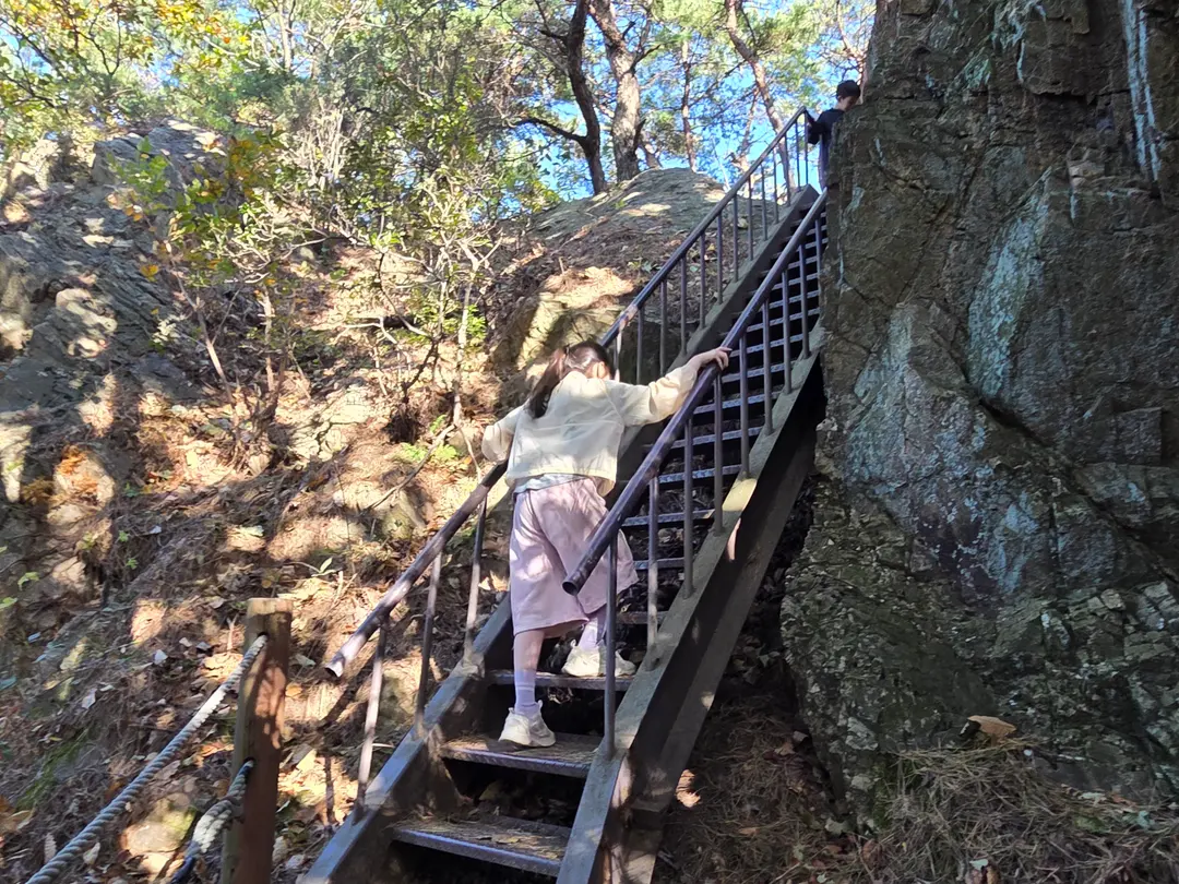
When you're almost at the summit,
you'll encounter these iron stairs.
Make sure to check where you came from before you climb!
When climbing the mountain, I was only looking forward,
so I didn't realize the area near the iron stairs was a fork in the path ㅠㅠ
On the way down, I was like, "Huh?! This was a fork in the road?"
My husband and I kept descending endlessly in the direction we agreed upon
(we both admit we have no sense of direction).
By the time we realized we had taken the wrong path,
it was too late ㅠㅠ
I'll tell you more about this when we talk about descending the mountain~
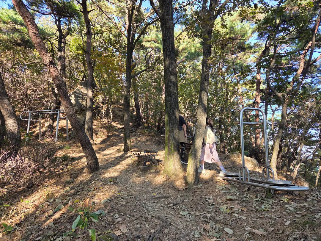
When you see the Sansujang (산스장), you know you've almost arrived.
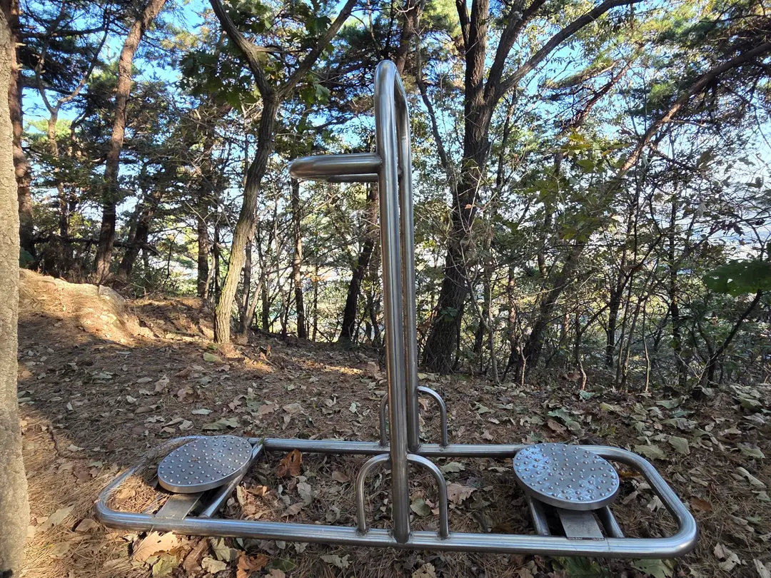
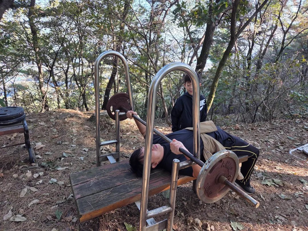
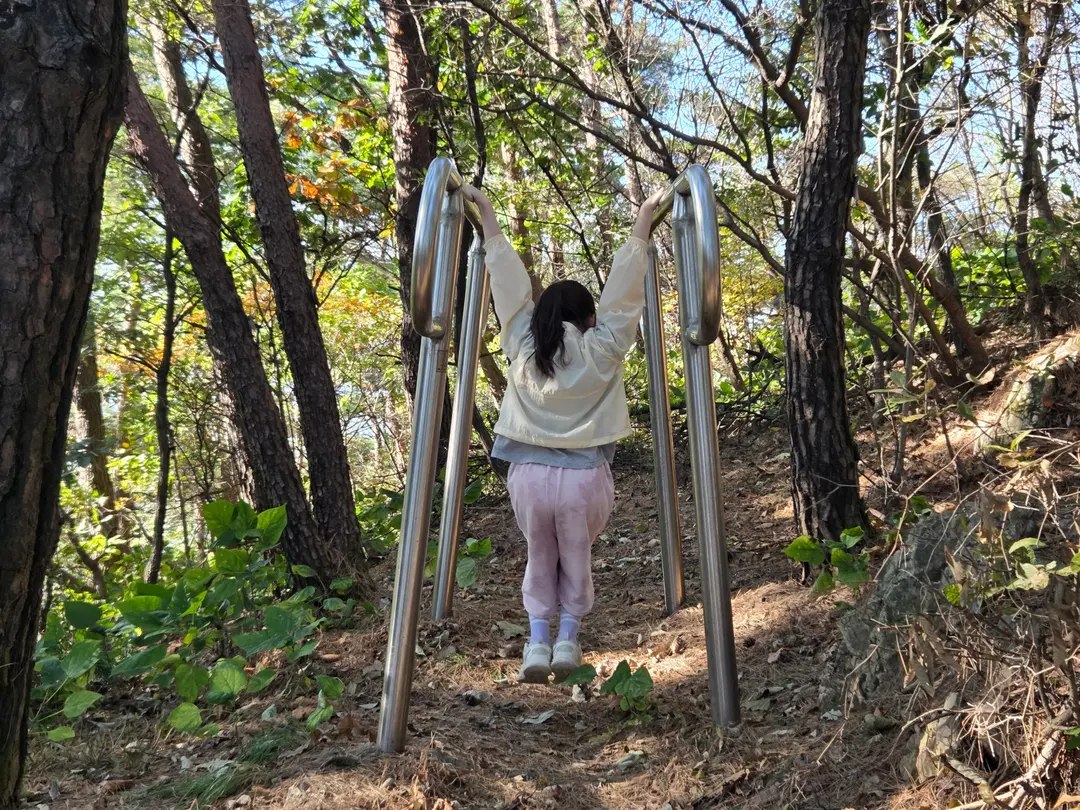
The Sansujang that even the kids enjoyed.
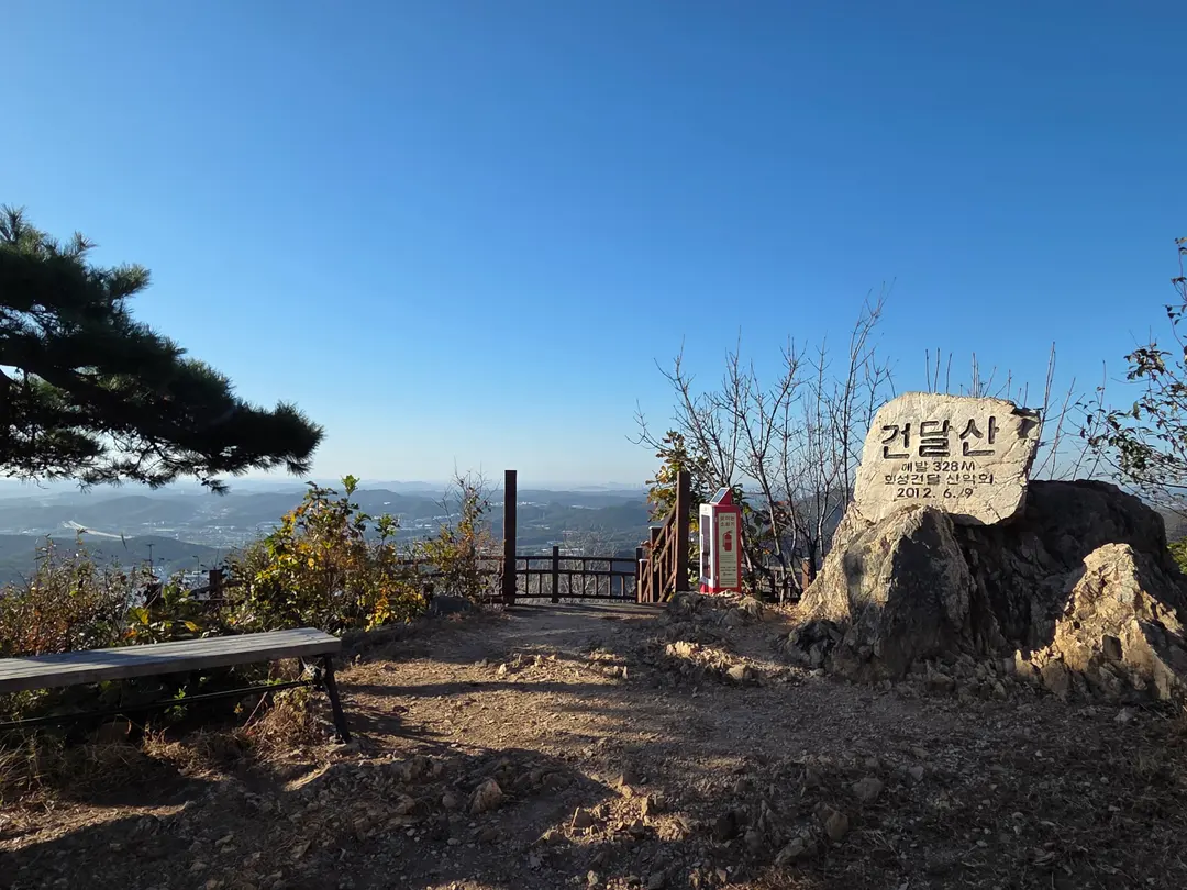
Arrived at the summit of Geondalsan!
Geondalsan Observation Deck
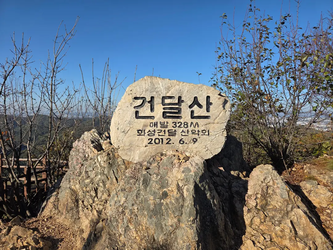
Geondalsan 328m Summit Marker
It took exactly 1 hour to climb with the kids.
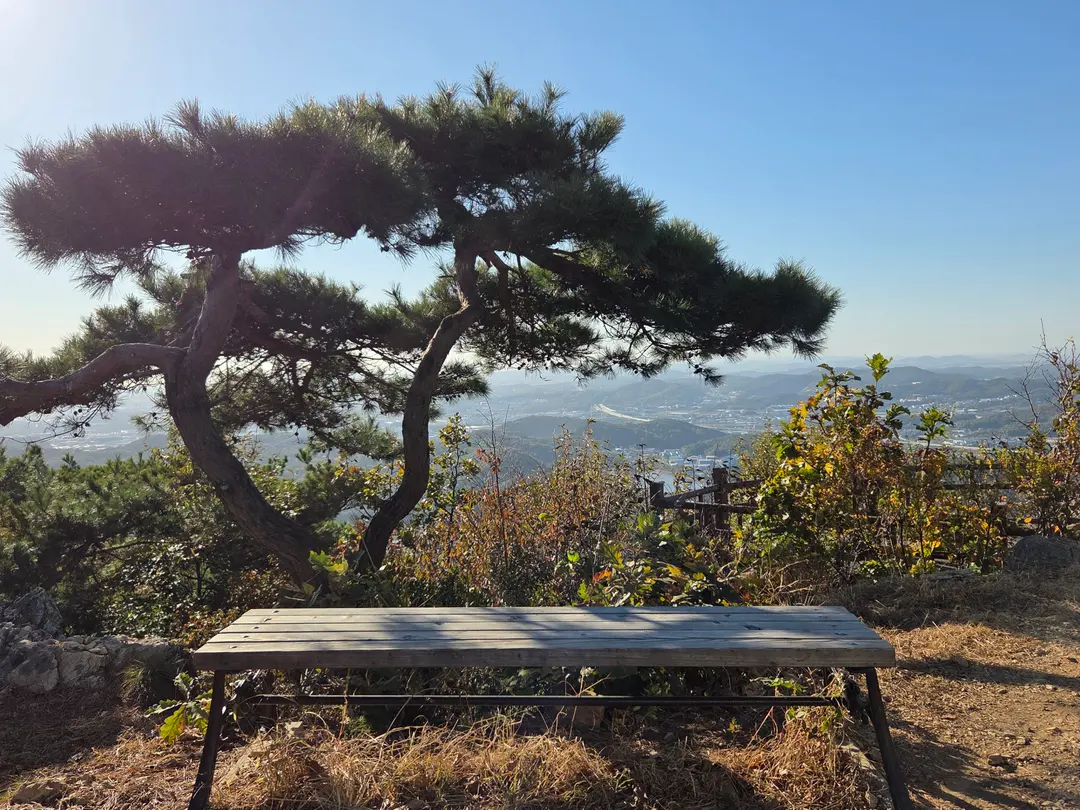
Before heading down to the deck, there's a bench like this,
harmonizing beautifully with the pine trees behind it,
isn't it wonderful?
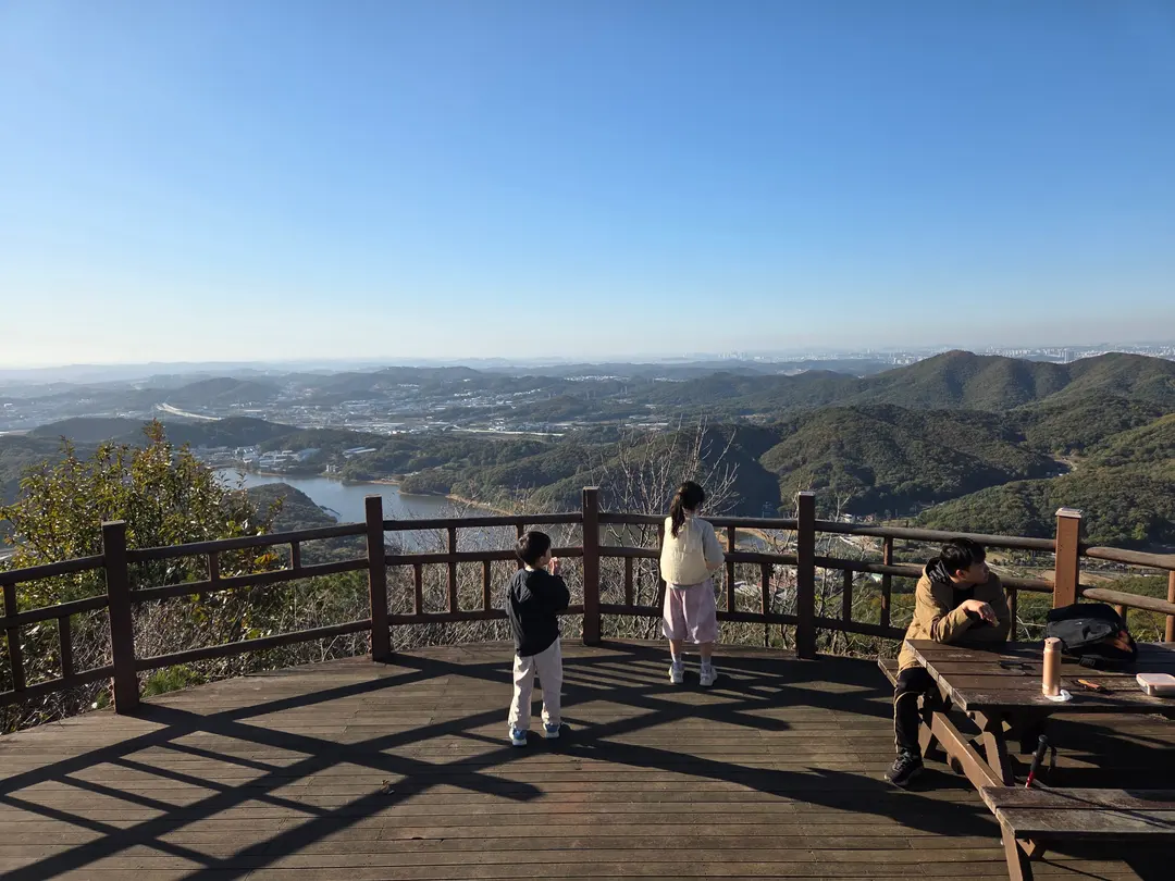
If you descend the stairs next to the summit marker,
you'll find a wide~~~ deck.
I heard backpackers do bivouacs here.
Five years ago, there was a circular table in the center,
which made photos look even better.
Now, the square table
is off to one side.
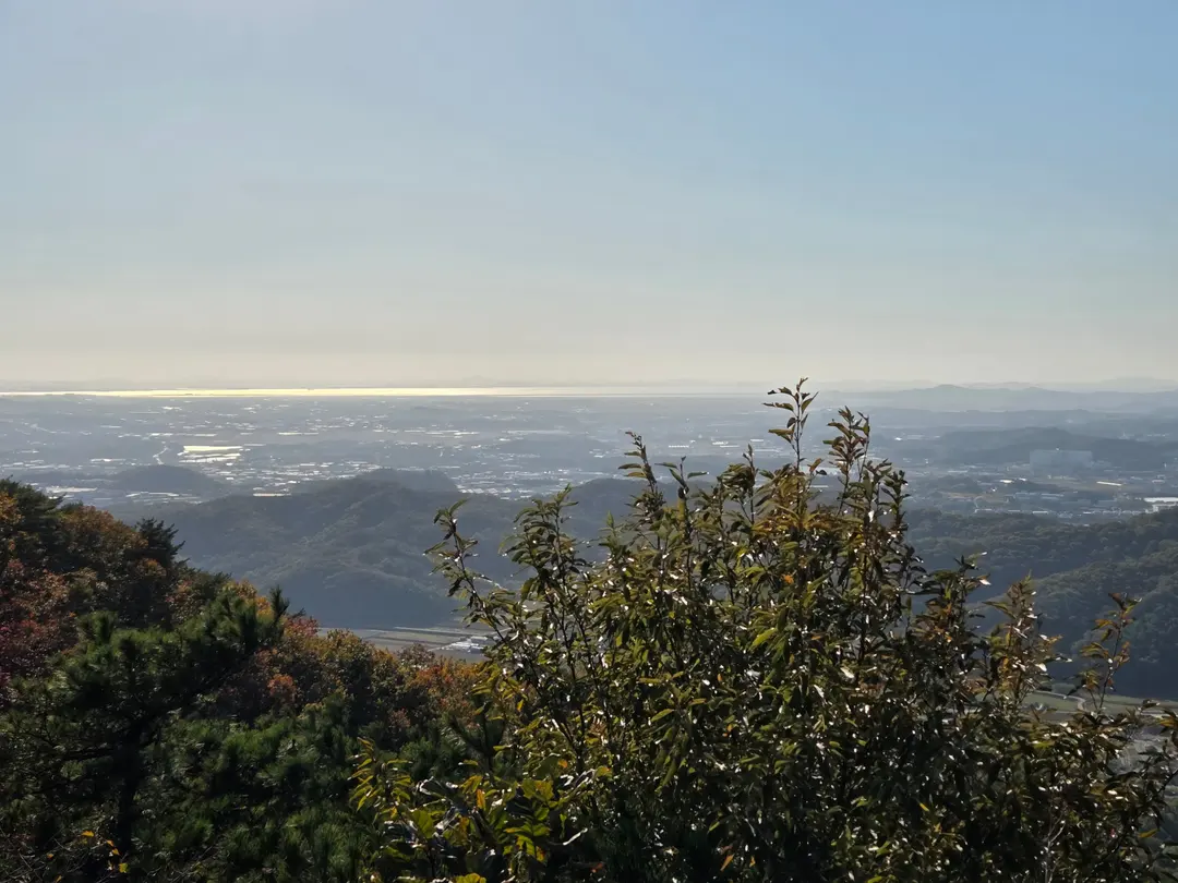
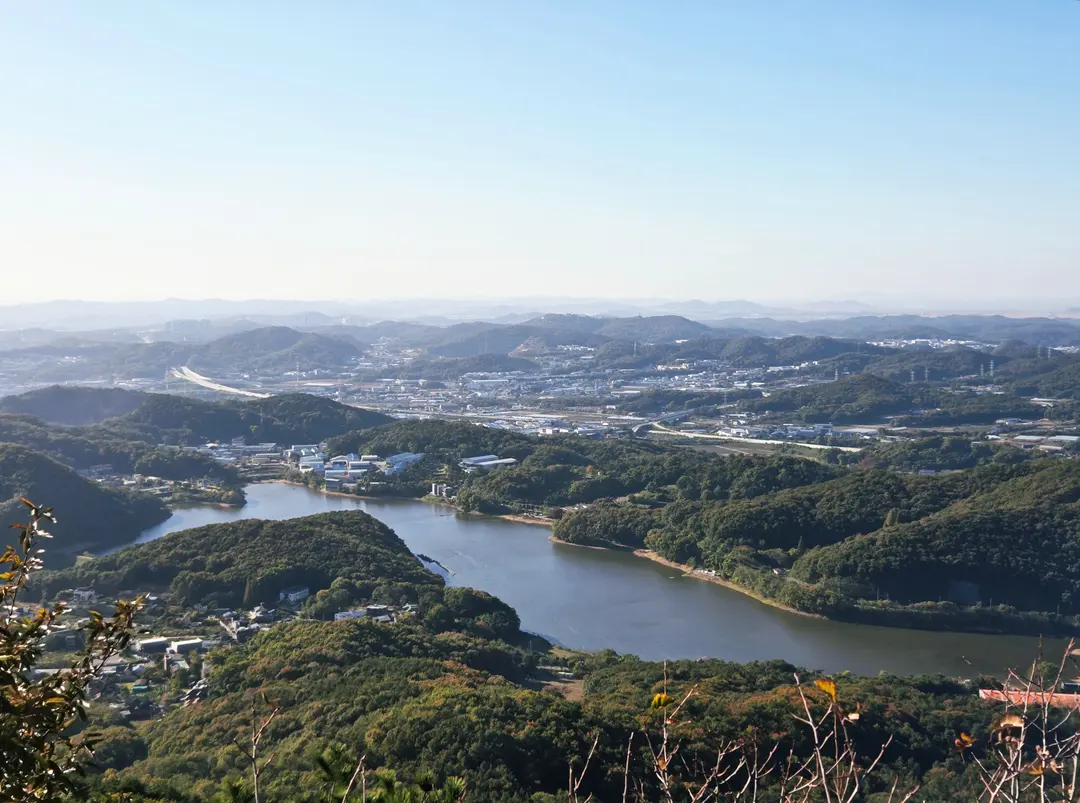
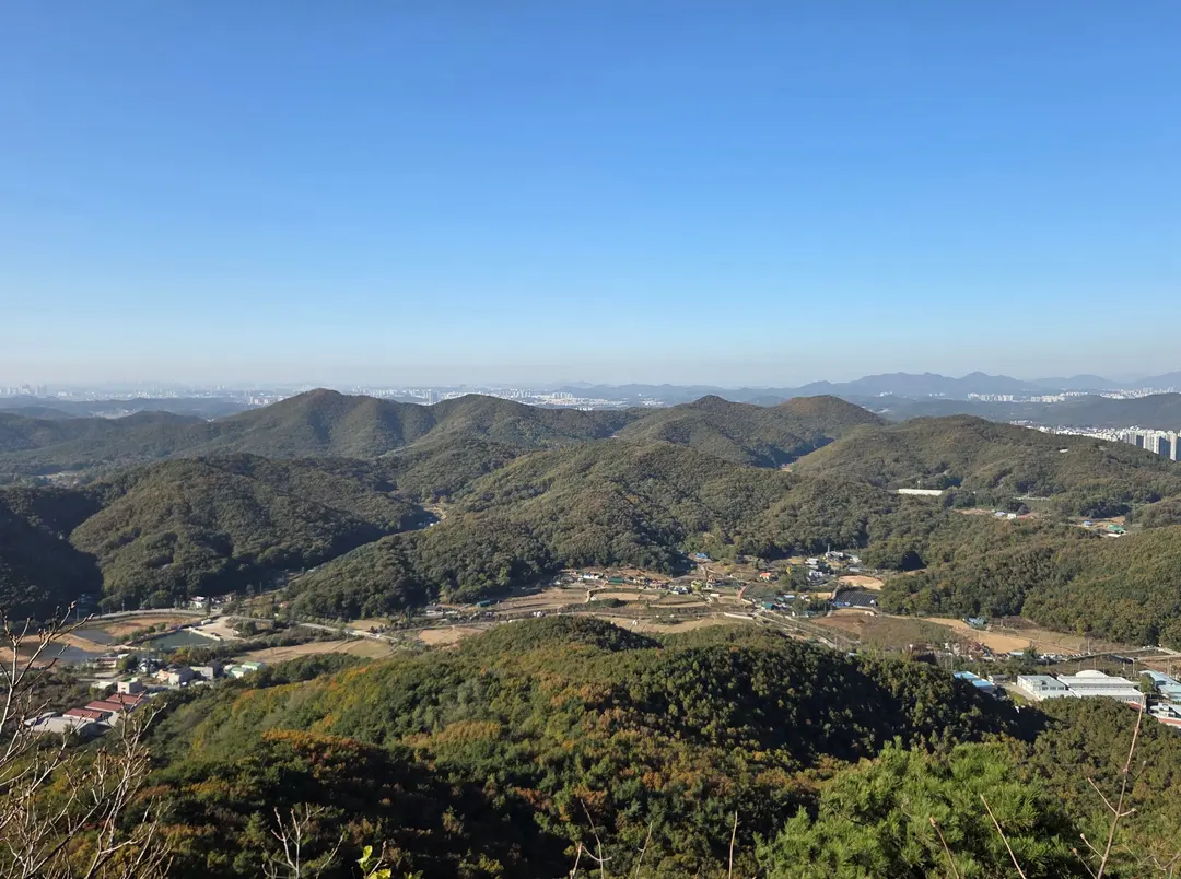
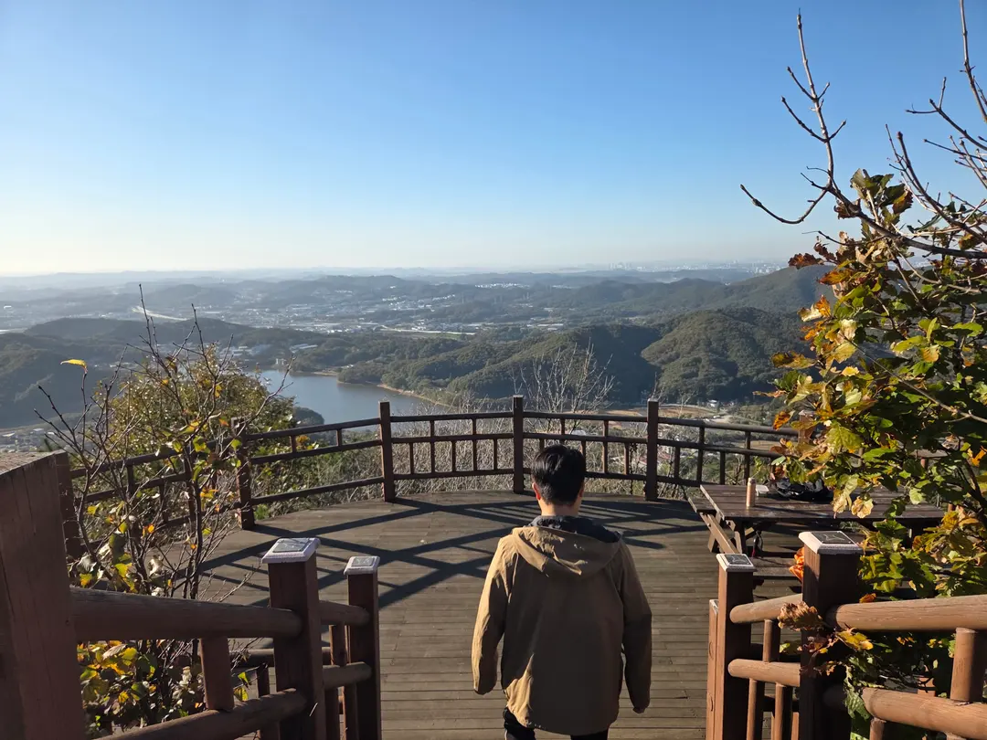
View from the summit.
To the west, you can see the sea,
Gicheon Reservoir (기천저수지), and
the ridges of the surrounding mountains.
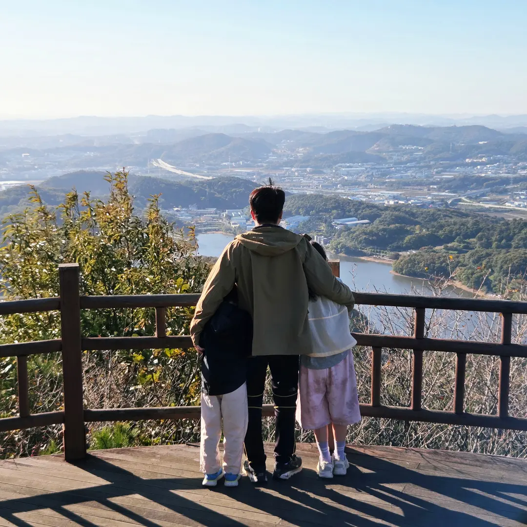
It was around 3 PM on a late Saturday afternoon,
and there weren't many people around, so we took tons of photos!
The Challenging Return to Our Starting Point
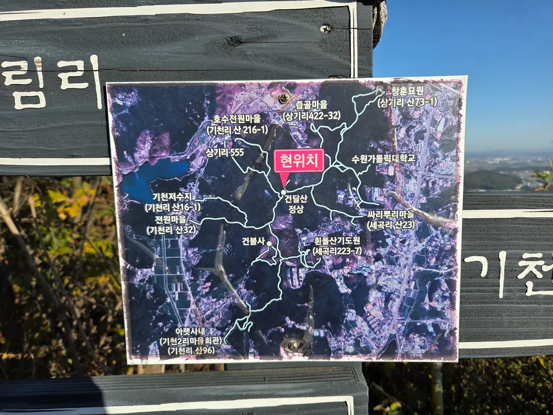
From the summit of Gondalsan Mountain (건달산),
as you descend towards Hindolsan Prayer Retreat (흰돌산기도원),
you'll encounter a fork in the road, right?
You really need to remember the direction carefully as you go down.
We, however, accidentally went towards Gicheon Reservoir (기천저수지).
Oh no!
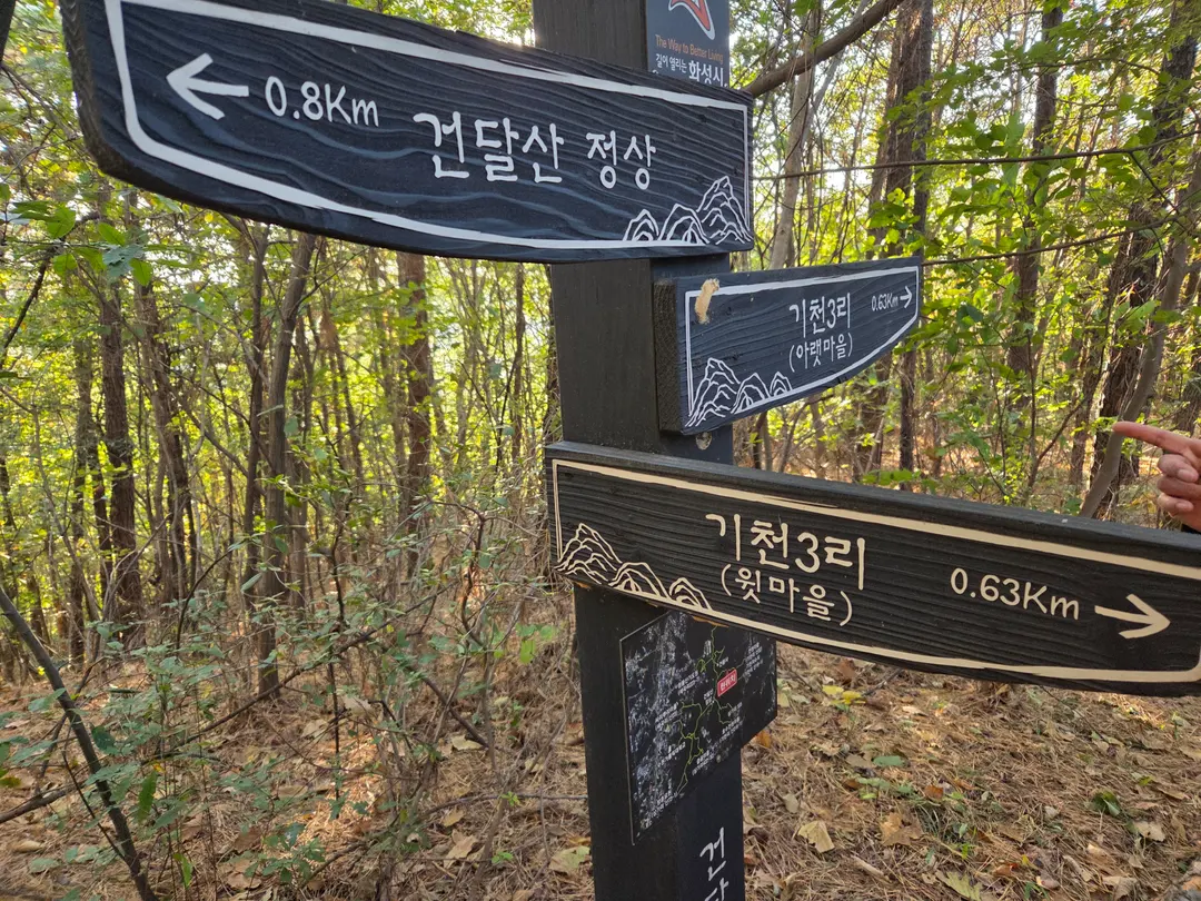
The sun was setting, so we couldn't go back up,
and we weren't sure exactly where we were,
but we had to choose between Gicheon 3-ri Lower Village (기천3리 아랫마을) and Upper Village (윗마을).
Since both were the same distance,
we just headed to the Lower Village.
We thought, "We'll just go down, catch a taxi, and drive to the car~"
but then...
After getting down, we tried to hail a taxi, but couldn't find one!
Oh no!
So, we took the H103 bus out to Baran Village (발안마을),
then caught the 8155 express bus,
and finally arrived at the Hindolsan Prayer Retreat Entrance (흰돌산기도원입구).
It was around 6 PM, and the sun had already set,
so my husband walked alone to the car,
and he said it was scarier than any horror experience he'd ever had...
Despite all the twists and turns and unexpected challenges,
the kids even said they liked Gondalsan Mountain better than Mubongsan Mountain (무봉산),
and because we had such an adventurous story of overcoming difficulties,
it turned out to be a hike we'll remember for a long, long time!
Next time, if we bring cup noodles to eat,
the kids will probably love it even more, right?
If you're considering hiking in Hwaseong (화성) or Dongtan (동탄) with your children,
Mubongsan Mountain is great, but we also recommend Gondalsan Mountain!
Their elevation and estimated time required are quite similar.
📍 Gondalsan Mountain (건달산)
Bongdam-eup (봉담읍), Hyohaeng-gu (효행구), Hwaseong-si (화성시), Gyeonggi-do (경기도)
Frequently Asked Questions
What types of hiking trails are there on Geondalsan Mountain in Hwaseong, and where do each of them start?
Geondalsan Mountain has two hiking trails: the gentle A Course and the shortest B Course. Course A starts at Gicheon 2-ri Community Center, and Course B starts at Hindolsan Prayer Mountain.
Where can I park when hiking Geondalsan Mountain, and are there restrooms near the trailhead?
Most hikers park in front of Hindolsan Prayer Mountain, which is the starting point for Course B. The road in front of the trailhead is wide, allowing cars to park on both sides, but there are no restrooms near the entrance.
How long does it take to reach the summit of Geondalsan Mountain via Course B with children, and what are the characteristics of this course?
It took exactly 1 hour to reach the summit of Geondalsan Mountain via Course B with children. Course B has many stairs and steep slopes, but most of the steep sections are equipped with ropes that you can hold onto to climb.
When descending Geondalsan Mountain via Course B, what specific points should I pay attention to to avoid getting lost?
The vicinity of the iron stairs near the summit is a fork in the path, so be sure to check where you came from before ascending. My group mistakenly descended towards Gicheon Reservoir and ended up in the lower village of Gicheon 3-ri.
Share this article
Related Travel Stories
Dongtan-gu Office: Korea Passport Renewal Guide (2026)
Don't let an expiring passport ruin your travel plans! Learn about the actual processing times for online passport renewal in Korea and the essential steps for pickup at Dongtan-gu Office.
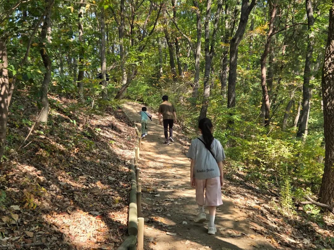
Mubongsan D Course: Family Hiking in Dongtan (2026)
Discover the best family-friendly hiking trail in Dongtan, South Korea! Our guide to Mubongsan D Course covers parking, trail tips, and a delicious local restaurant, Mubongsan-jang.

Dongtan Lake Park Luna Show 2026: October Schedule, Parking & Dining
Catch the spectacular Dongtan Lake Park Luna Show before it concludes for 2026! This free music fountain and laser display in Hwaseong is a must-see for families.
Brickstay Pension Jebudo Review 2026: Quiet Oceanfront Getaway
Escape the city hustle at Brickstay Pension in Jebudo. Enjoy breathtaking ocean views from your balcony and discover why this charming spot is a top-rated getaway near Seoul.
Dongtan Lake Park Playground Renovation 2026: Parking & Map
Exciting news! Dongtan Lake Park's playground near Eoullim Center has been beautifully renovated for 2026. Get ready for new slides, swings, and sand fun!
Sushi Kohoshi Dongtan Omakase Lunch Review 2026: Private Rooms
Craving an authentic Omakase lunch in Dongtan, South Korea, but need space for your group? Sushi Kohoshi offers exquisite private dining rooms perfect for any gathering.